


Industry
The Future of Surveying Engineering: 2025-2026 Trends and the Technology Shift
The move from measurement to spatial data management with AI, autonomous systems and digital twins.
Technical writing
Technical articles, methods and application notes from our surveying, GIS and engineering work.
16 articles7 topicsLatest: 29 January 2026
16 articles
Industry
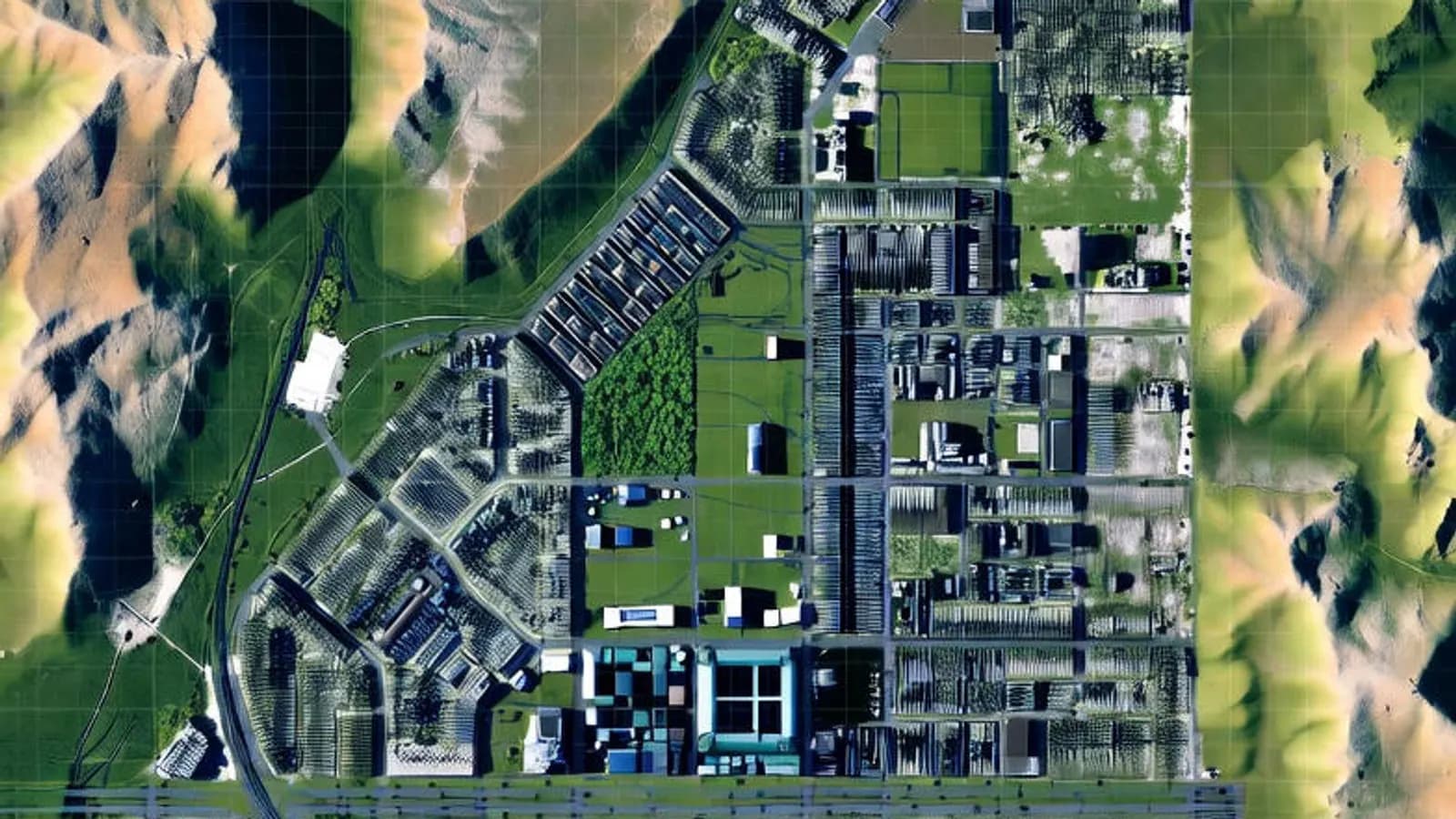
The move from measurement to spatial data management with AI, autonomous systems and digital twins.
GNSS and survey methods

Surveying and geodesy

Surveying and geodesy
How total stations, levels and GNSS receivers work, and what each is best used for.
Infrastructure
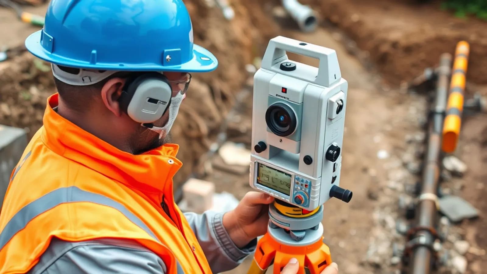
The surveying engineer's work on utility lines, from measuring to mapping.
Earthwork volumes
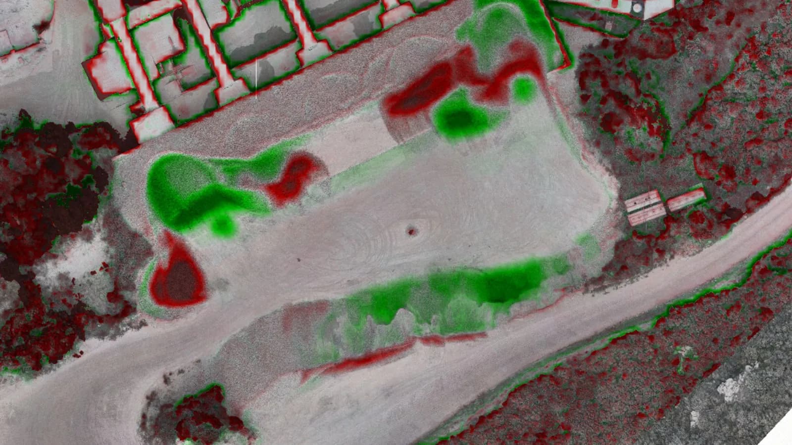
Calculating cut and fill volumes with digital elevation models.

Photogrammetry and 3D
A new method for 3D visualisation and its place in digital twin work.
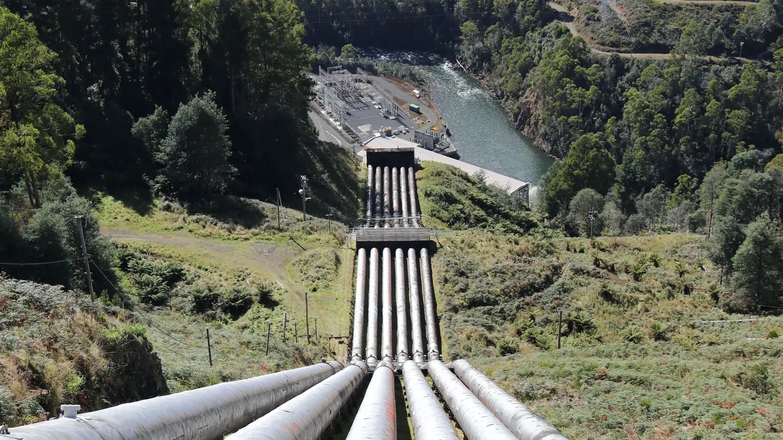
Infrastructure
The steps of drainage line design, from the land survey to the project drawings.
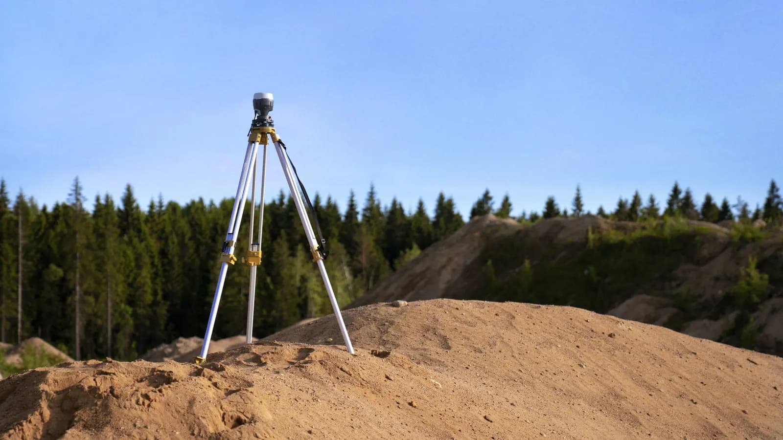
GNSS and survey methods
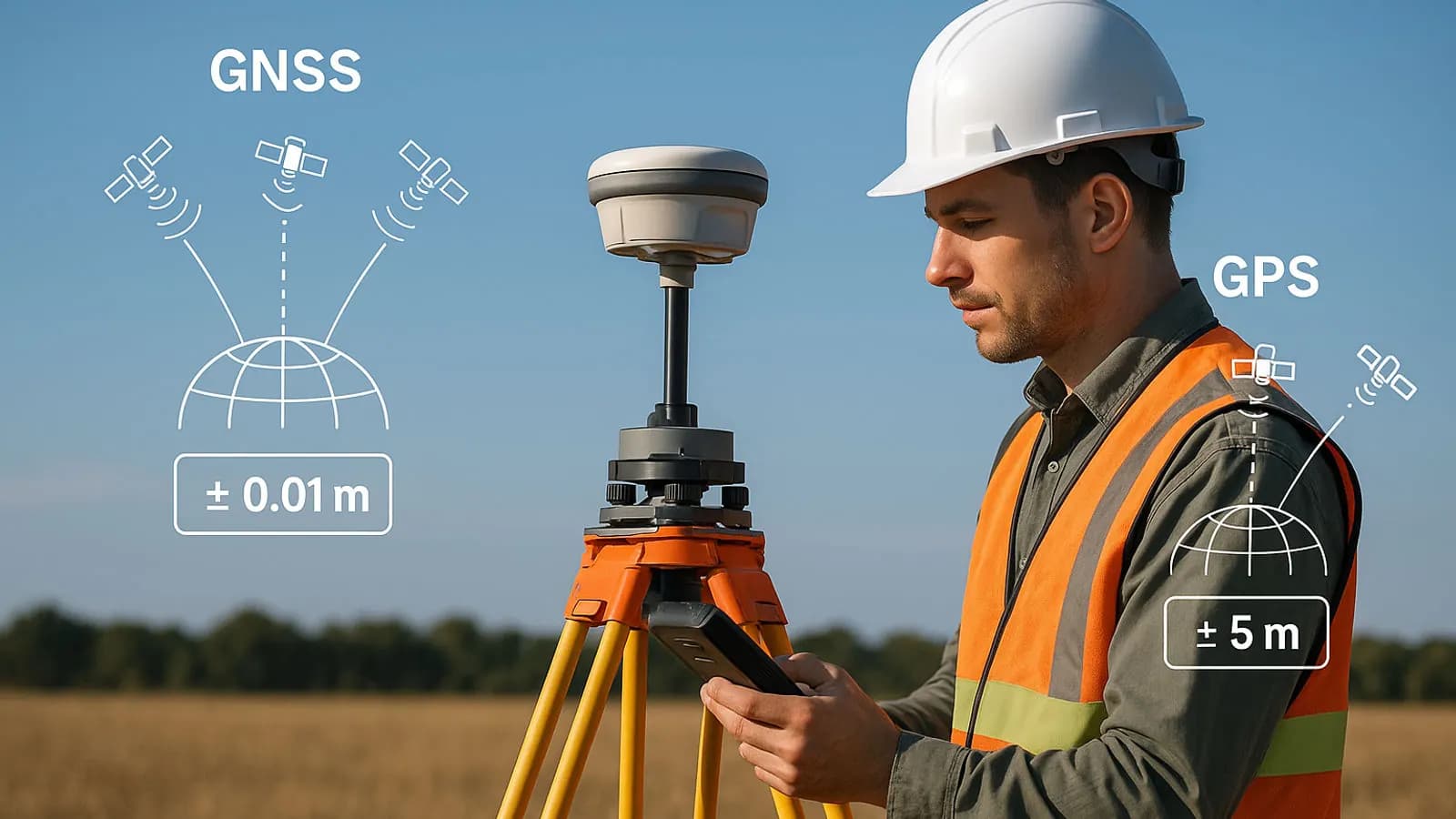
A comparison of GNSS survey methods and how to choose the right one in the field.

GIS
The core components of geographic information systems and their main applications.
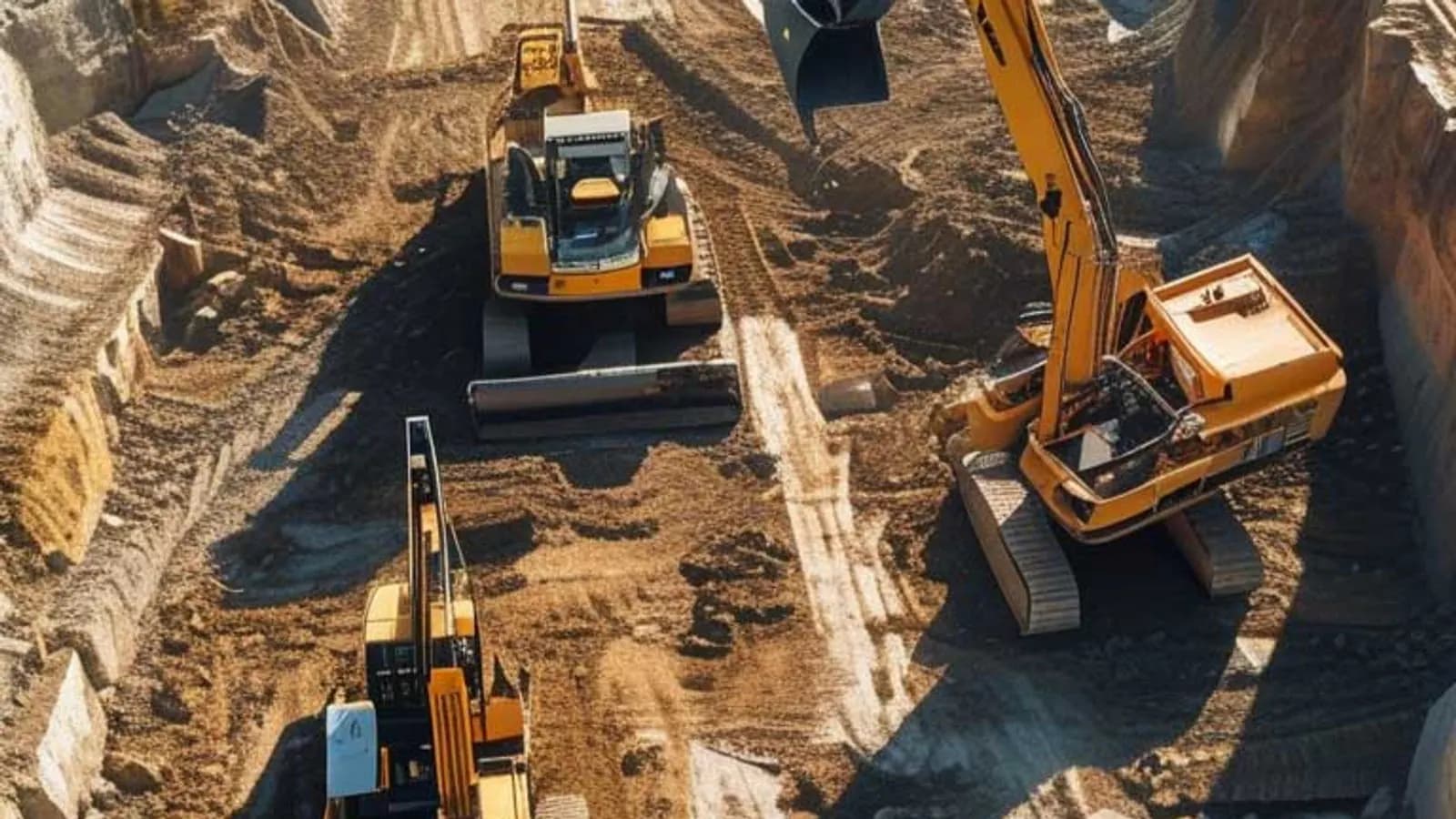
Earthwork volumes
How small errors in volume calculations affect a project's cost and schedule.

Photogrammetry and 3D
How position, shape and size are measured from photographs, and where the method is used.
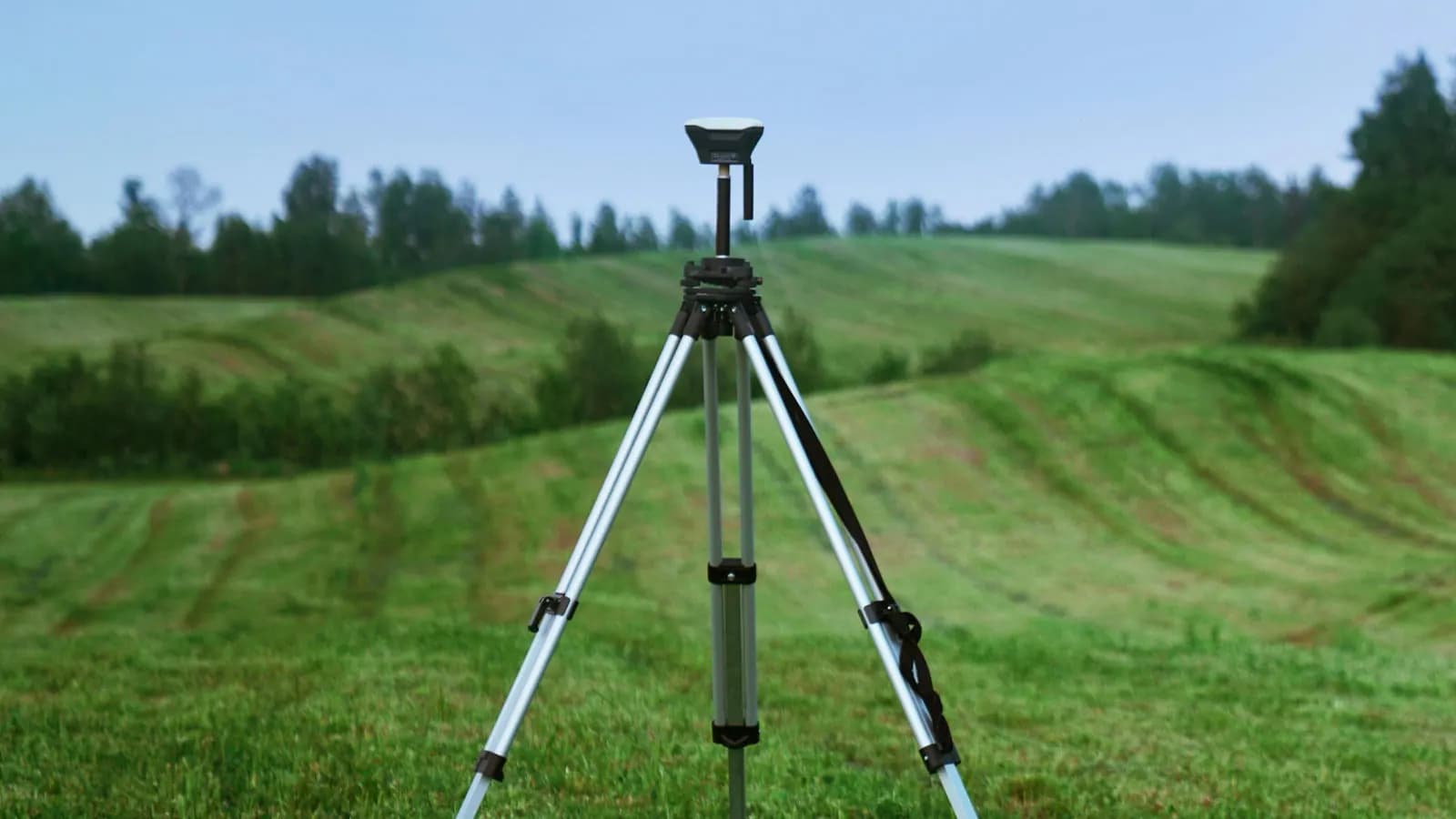
GNSS and survey methods
The factors that affect precision in satellite positioning, and the survey techniques used.

Industry
How digital tools are changing surveying engineering workflows and planning.

Industry
The scope of surveying engineering and its role in the built environment.