

What Is Photogrammetry? Uses, Advantages and the Future
How position, shape and size are measured from photographs, and where the method is used.
Contents
What Is Photogrammetry?
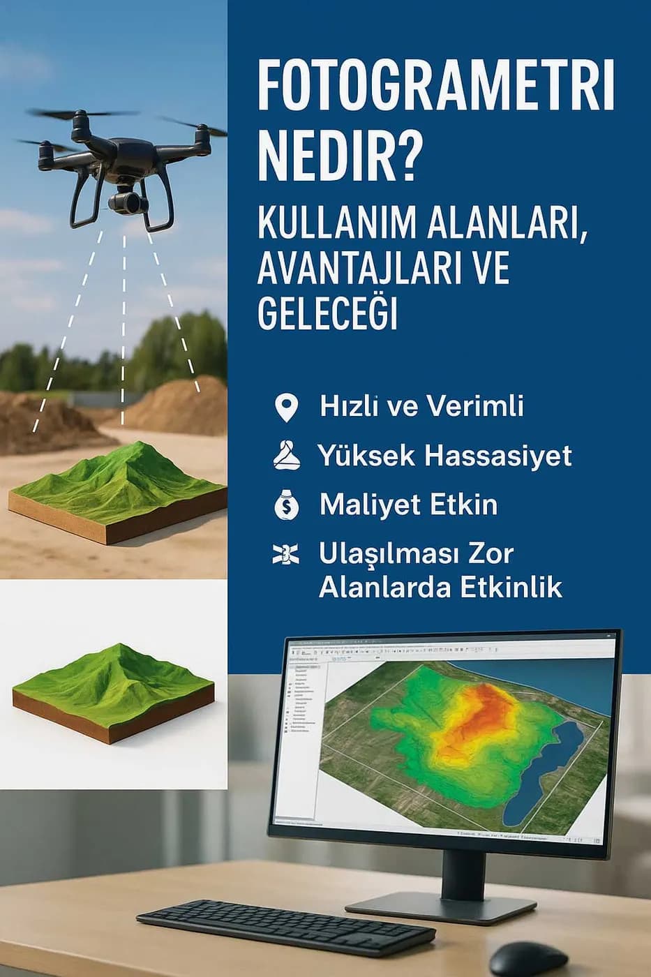
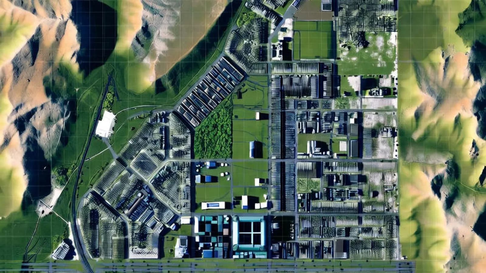
Photogrammetry is a measurement technique that determines the position, shape and size of objects by taking measurements from photographs. Essentially, three-dimensional data is obtained from two or more photos taken from different angles. The method is widely used in many disciplines such as surveying, engineering and architecture.
Today, especially thanks to unmanned aerial vehicles (drones), photogrammetry has become much faster, more economical and more accessible.
Uses of Photogrammetry
Photogrammetry has a very wide range of applications. The main ones are:
- Map production and cadastral work: the basic method for producing digital maps, orthophotos and terrain models.
- Road and infrastructure projects: used for pre-construction planning, recording existing conditions and checking compliance with the design.
- Architecture and restoration: used to document historic buildings and create 3D models.
- Mining: offers ideal solutions for volume calculations and project monitoring in open pits.
- Agriculture: plant health analysis and land assessment in precision farming.
- Disaster management: plays an effective role in assessing and analysing the situation after earthquakes, floods and other disasters.
Advantages of Photogrammetry
- Fast and efficient: collects data over large areas in a short time.
- High precision: with good planning and equipment, very precise results can be achieved.
- Cost-effective: saves time and money compared with traditional survey methods.
- Works in hard-to-reach areas: data can be collected in mountainous, forested or hazardous areas.
The Future of Photogrammetry
Photogrammetry is changing as technology develops. In particular:
- Automated data processing with artificial intelligence and machine learning
- Remote project management with cloud-based workflows
- Visualisation with augmented reality (AR) and virtual reality (VR)
- Photogrammetry with mobile devices (photogrammetry on the go)
These innovations are making the method more widespread and accessible.
In the future, photogrammetry is expected to play a key role not only in mapping but also in game development, film, industrial design and urban planning.
Conclusion
Photogrammetry has become indispensable in modern engineering and planning. Combined with new technologies, its speed, precision and flexibility make it a powerful tool for the projects of today and tomorrow.
To learn more about photogrammetric mapping and modelling, you can contact us.
Related articles
Photogrammetry and 3D
What Is Gaussian Splatting?
A new method for 3D visualisation and its place in digital twin work.
Industry
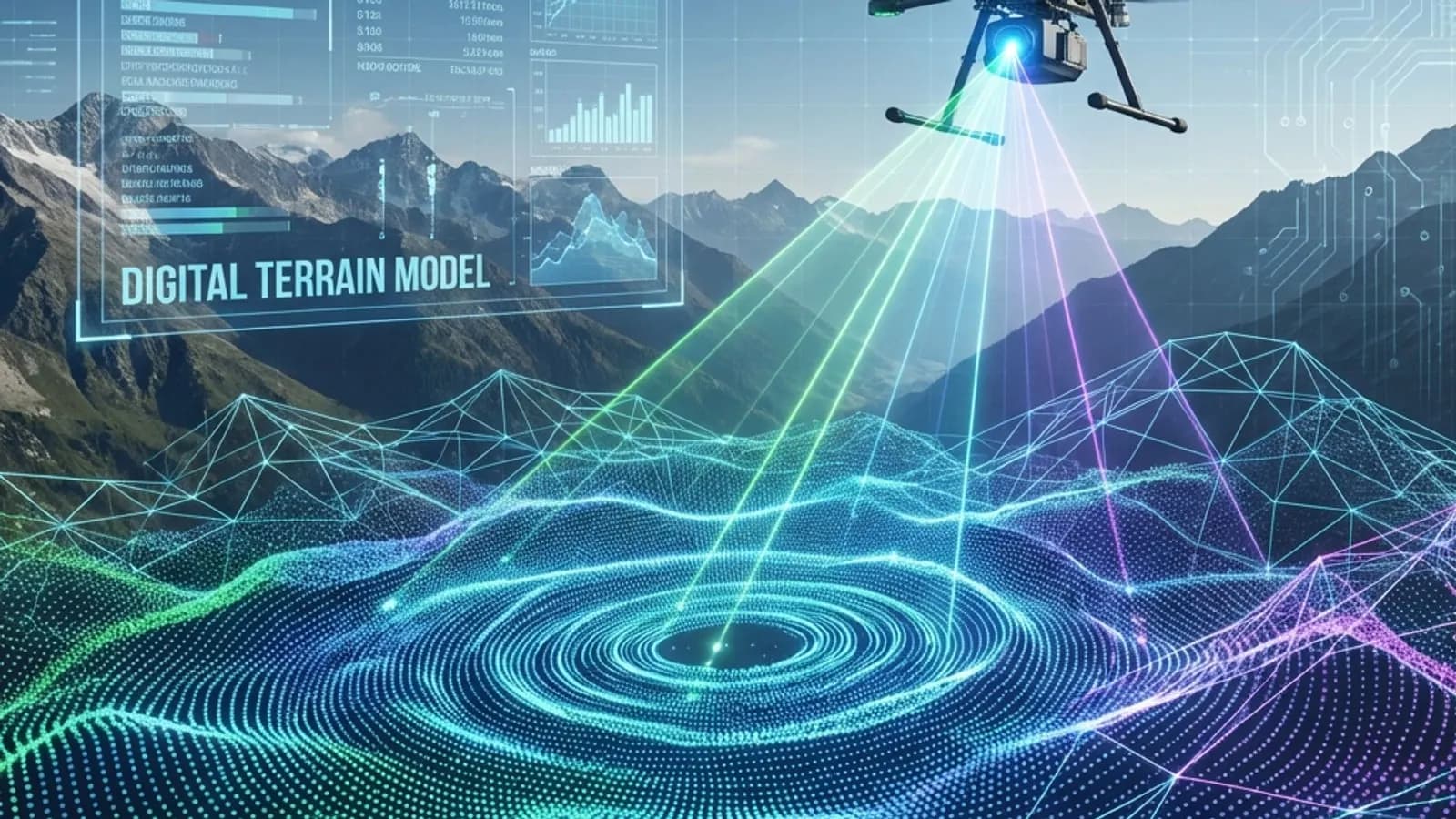
The Future of Surveying Engineering: 2025-2026 Trends and the Technology Shift
The move from measurement to spatial data management with AI, autonomous systems and digital twins.
GIS
Vector and Raster Maps: Differences and Uses
The structure and strengths of the two data models, and which one to choose for which job.