

Vector and Raster Maps: Differences and Uses
The structure and strengths of the two data models, and which one to choose for which job.
Contents
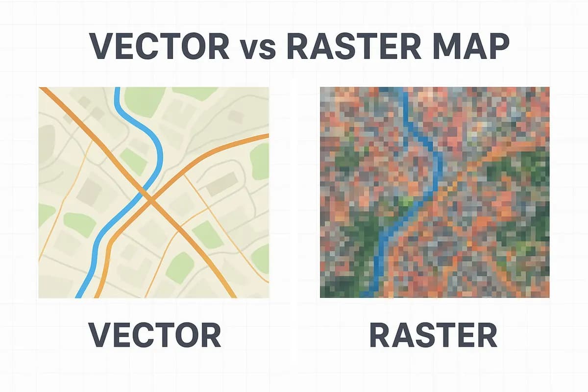
The data produced in mapping is usually in vector or raster format. These two data types directly affect how a map is stored, processed and analysed. So what is the difference between a vector map and a raster map, and which one is preferred for which projects? In this article we compare these two basic data models for surveying engineers and GIS users.
What Is a Vector Map?
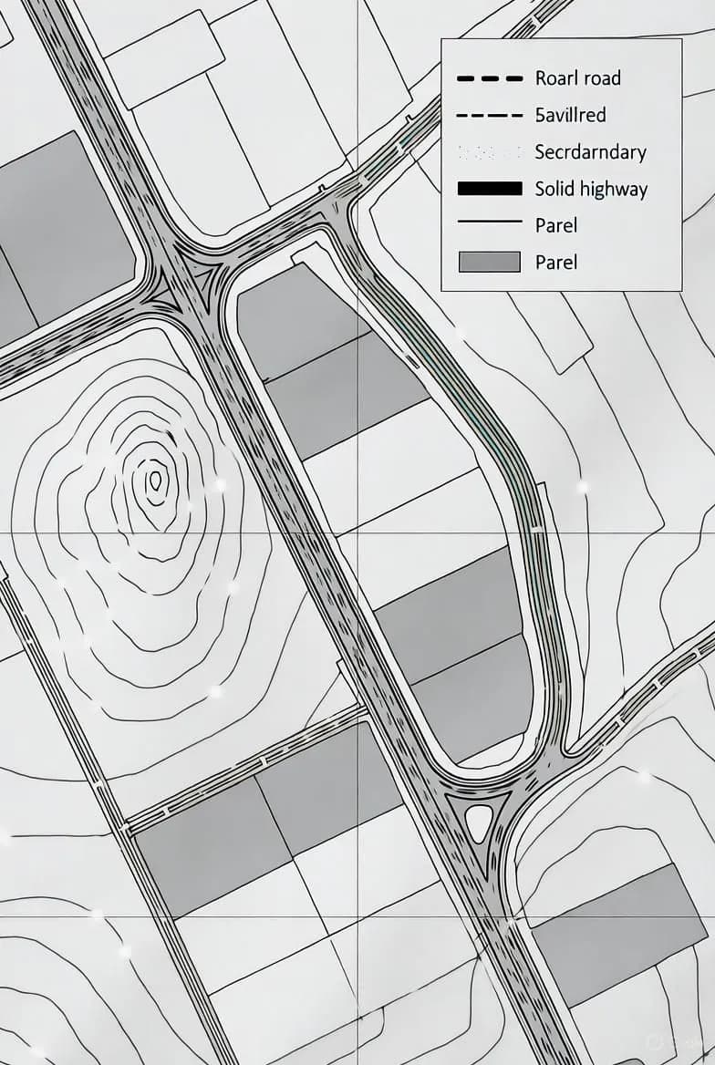
Vector maps are made up of geometric shapes such as points, lines and polygons. Each feature has coordinate information and attribute data.
Examples:
- Point → building, well, pole
- Line → road, river, power line
- Polygon → plot, parcel, lake
Advantages:
- High accuracy.
- Integrates easily with databases (e.g. land registry and parcel information).
- Updating and editing are fast.
Disadvantages:
- Less visual detail.
- Processing time can grow in complex analyses.
What Is a Raster Map?
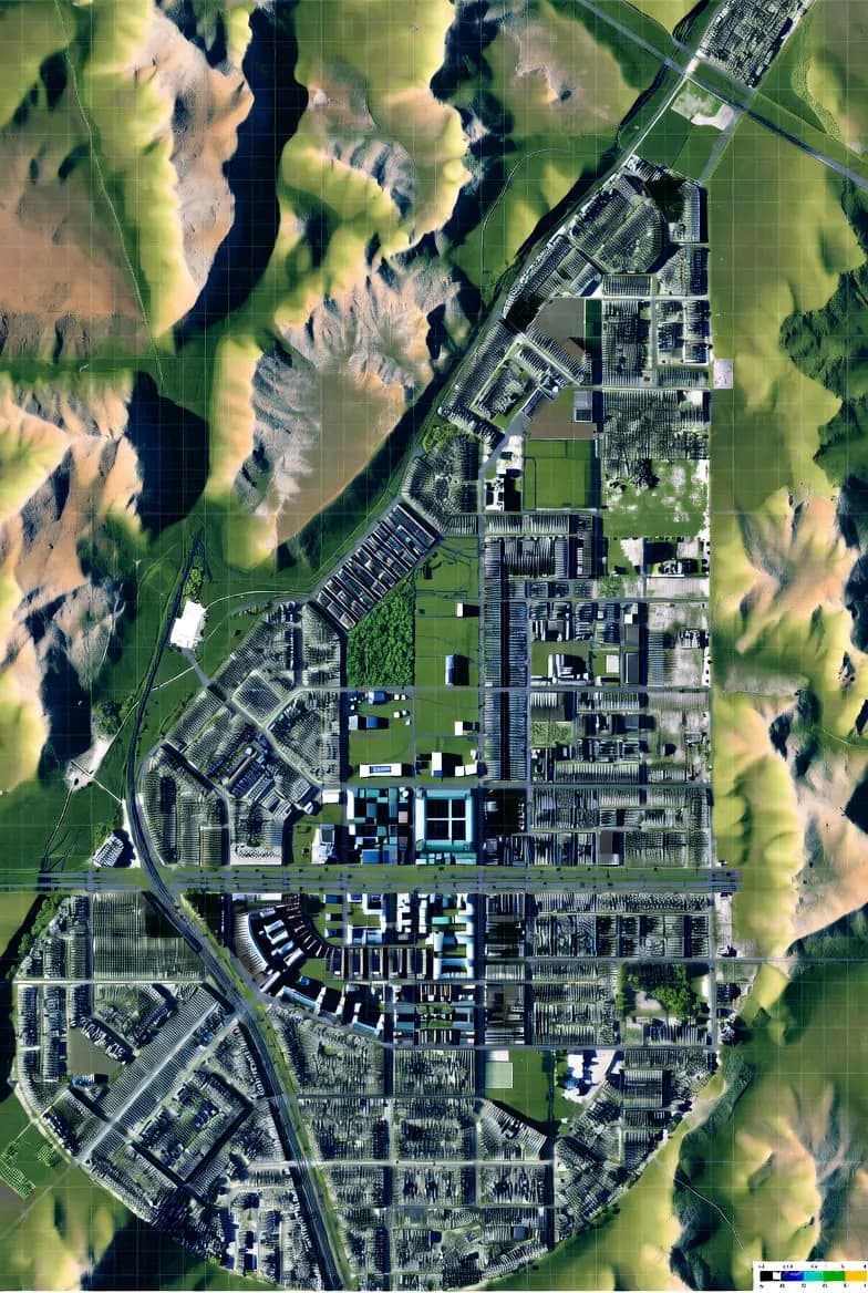
Raster maps are an image-based data model made up of pixels (grid cells). Each pixel holds a colour or numeric value for a location.
Examples:
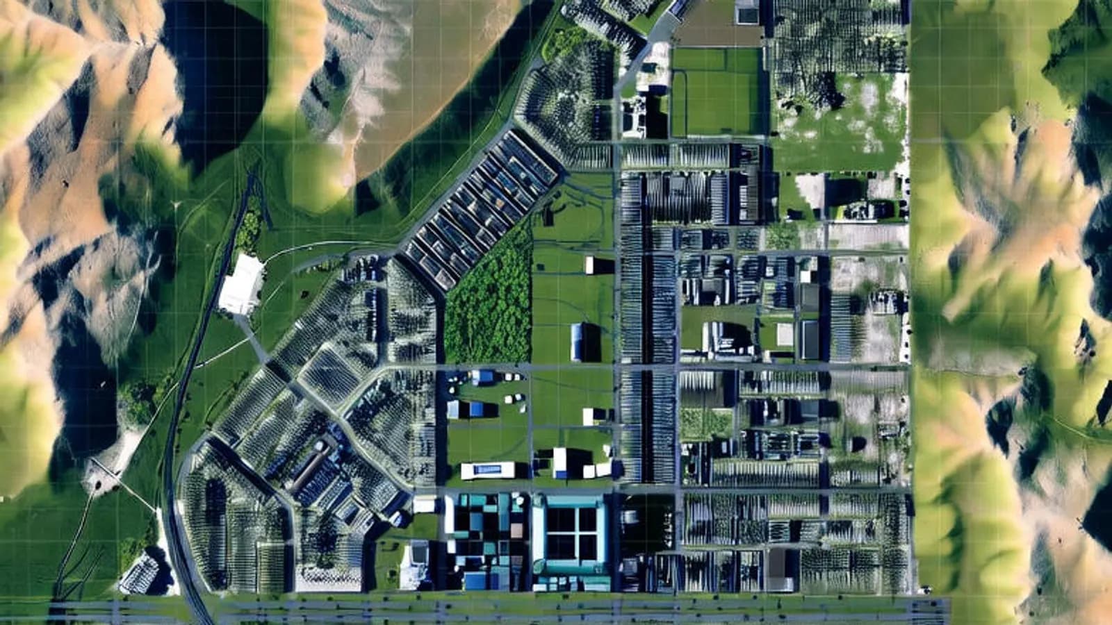
- Satellite images
- Orthophoto maps
- Digital elevation models (DEM, DSM)
Advantages:
- Gives the visual representation closest to reality.
- Ideal for surface analyses (slope, elevation, visibility).
- Easy to interpret over large areas.
Disadvantages:
- Large file sizes.
- Not suitable for precise spatial measurements.
Differences Between Vector and Raster Maps
| Feature | Vector map | Raster map |
|---|---|---|
| Data structure | Point, line, polygon | Pixel (grid) |
| Visual representation | Simple, schematic | Realistic, detailed |
| Type of analysis | Spatial analysis | Surface analysis |
| File size | Small | Large |
| Example use | Cadastre, infrastructure | Satellite, orthophoto |
Which One Should You Use When?
Vector map:
- Cadastre, zoning plans, infrastructure projects
- Ownership analysis, road planning
Raster map:
- Satellite-based monitoring systems
- Terrain model production
- Visual mapping
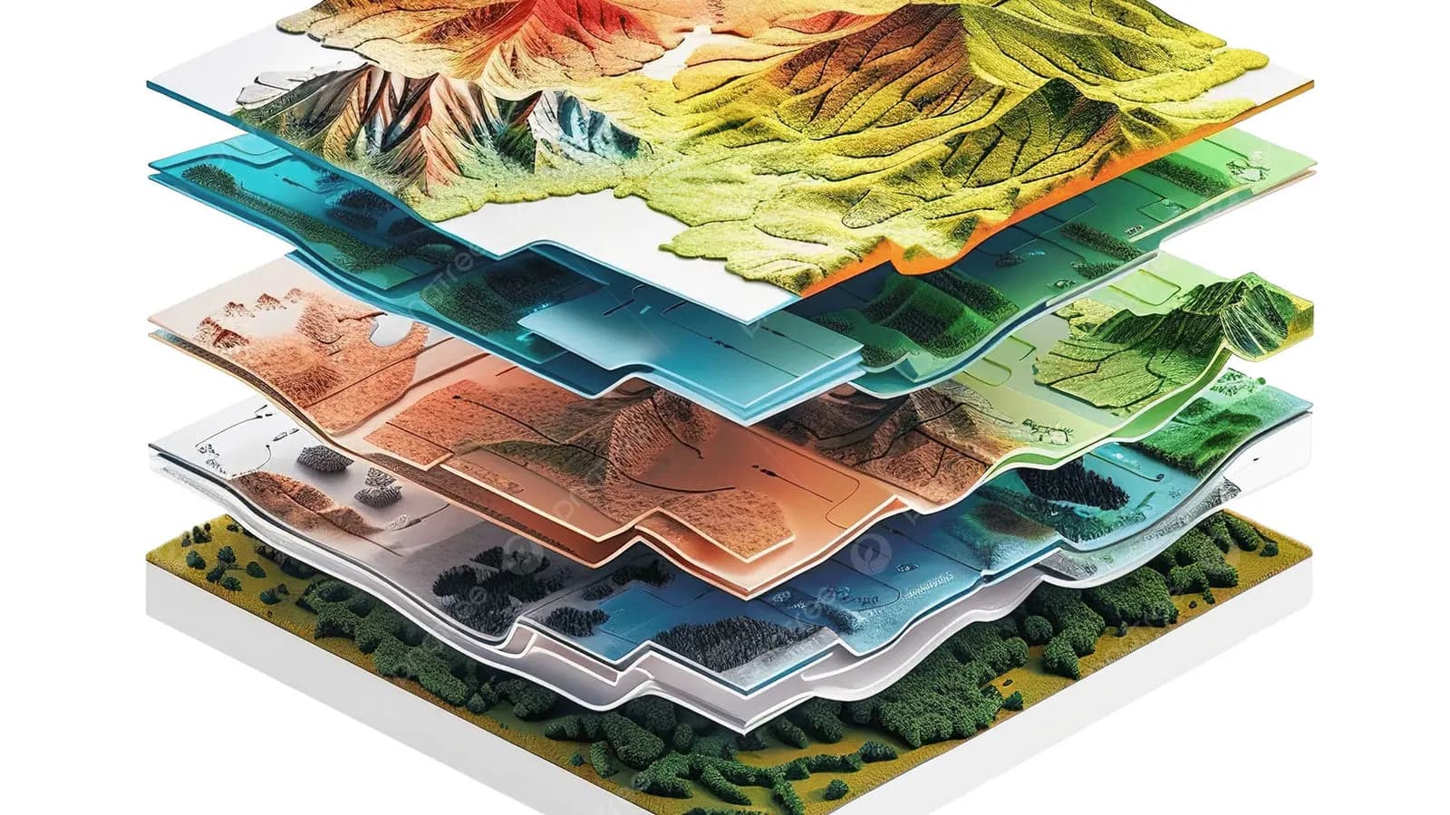
Today, GIS (geographic information systems) applications usually use both kinds of data together. For example, a parcel vector is overlaid on an orthophoto raster, giving both spatial and visual accuracy.
Conclusion
Vector and raster maps are both essential parts of mapping. Vector has the advantage in precision and data structure, while raster is ideal for realistic visuals and surface analyses. Choosing the right data model for the project is critical for accuracy and efficiency.
Related articles
GIS
What Is GIS (Geographic Information Systems)? Where Is It Used?
The core components of geographic information systems and their main applications.

Industry
The Future of Surveying Engineering: 2025-2026 Trends and the Technology Shift
The move from measurement to spatial data management with AI, autonomous systems and digital twins.
GNSS and survey methods
Techniques Used in High-Precision GPS Surveys (RTK, PPK, DGPS)
How RTK, PPK and DGPS work to give centimetre-level positions.