

Engineering Solutions
See the servicesWhich documents are needed for setting out?
Usually the title deed details (province, district, block and parcel number), and a sketch and approved project if you have them. If you don't know your block and parcel number, you can find it in the TKGM Parcel Query service. The exact list depends on the job and the authority; we clarify it together in the first conversation.
How long does a survey take?
It depends on the size of the land, how easy it is to reach and the output you need. We state the field and office time in writing with the quote.
In which formats do you deliver?
In the format the authorities require. Drawings are usually delivered as DWG and PDF, and calculations as a bill of quantities and a volume report. If you need another format, just tell us at the start.
When is a drone survey the right choice?
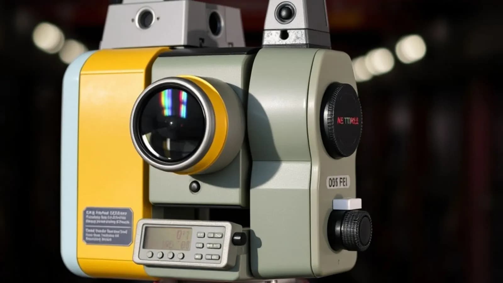
For large areas, mines and stockpiles, or when a 3D model of the site is needed, a drone is fast and economical. Precise points such as parcel boundaries are measured with GNSS and a total station; most projects use both.
How is the price determined?
By the size of the area, the type of work, the location, the accuracy required and the deliverables. After the first conversation we share the scope and the fee in a written quote.
GIS Solutions
See the servicesOur data is in different formats. Is that a problem?
No. We bring data from different sources, such as shapefiles, CAD drawings, Excel tables, GeoTIFF images or scanned map sheets, into one structure on the same map.
Which coordinate systems do you work with?
We work with ITRF96, ED50 and WGS84, which are common in Türkiye, and convert between them when needed. We deliver in the system your organisation uses.
Does a web map need its own server?
It depends on your needs. The map can be installed on your organisation's own server or delivered as a hosted service. We decide together which suits you in the first conversation.
Can we update the data ourselves after delivery?
Yes. We organise the data so it can be opened with common, free tools such as QGIS, and explain how to update it at delivery.
Do we need to buy a software licence?
In most projects, no. QGIS and PostGIS, which we use, are open source and have no licence fee. If your organisation uses commercial software, we prepare the delivery to suit it.
Software & AI Solutions
See the servicesHow is the cost of a project determined?
By scope: the number of pages and screens, the features you need, the number of languages and the systems to connect. We listen to your needs in a first meeting, then prepare a written scope and proposal.
How long does it take?
A showcase website and a multi-role admin panel don't take the same time. We share a step-by-step timeline with the proposal and show progress regularly in a test environment.
Can you rebuild our existing website?
Yes. We move your content and valuable page addresses across; changed addresses are redirected to the right pages, so your search visibility is preserved.
Can we update the content ourselves?
If you like, we add a content management panel so you can update text, images and announcements yourself, without technical knowledge.
Can you bring our maps and GIS data to the web?
Yes. We convert your existing GIS data into interactive map applications with layer, query and filter screens that open in any browser.
Do you provide support after launch?
Yes. We look after the domain, SSL, hosting, backups and updates, and provide technical support.
General
How can I get a quote?
Fill in the form on the Contact page or give us a call. Briefly describe where the project is and what you want to do; we'll get back to you and clarify the scope together.
Do you work with public bodies?
Yes. We work on public and private sector projects and prepare deliverables in the format the authorities require.
Do you work on projects outside Adana?
We are based in Adana. Send us the location and scope of the project and we'll explain clearly how the field work would be planned.
Do I need services from all three areas?
No. You can work with us on just the area you need: engineering, GIS or software. When a project needs all three, we run it as one team.
Didn't find your answer?
Describe your project in a few sentences and we'll get back to you.
Contact us