

Three areas, one flow
A project often needs all three. You can also work with us on any one of them.
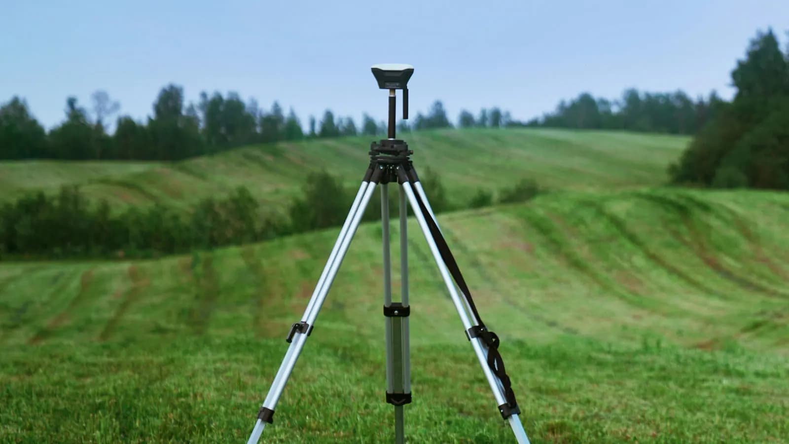
- We measureEngineering SolutionsWe survey the site with GNSS, total station and drones, and produce maps, models and projects.Base maps and setting outDrone and 3D terrain modelsCadastre, zoning and infrastructureDetails
- We make sense of itGIS SolutionsWe organise and analyse the data and turn it into maps that drive decisions.Spatial databasesAnalysis and thematic mapsWeb GISDetails
- We turn it into systemsSoftware & AI SolutionsWe bring data and workflows into web and mobile applications.Corporate websitesAdmin panels and mobile appsAutomation and AIDetails
All three together
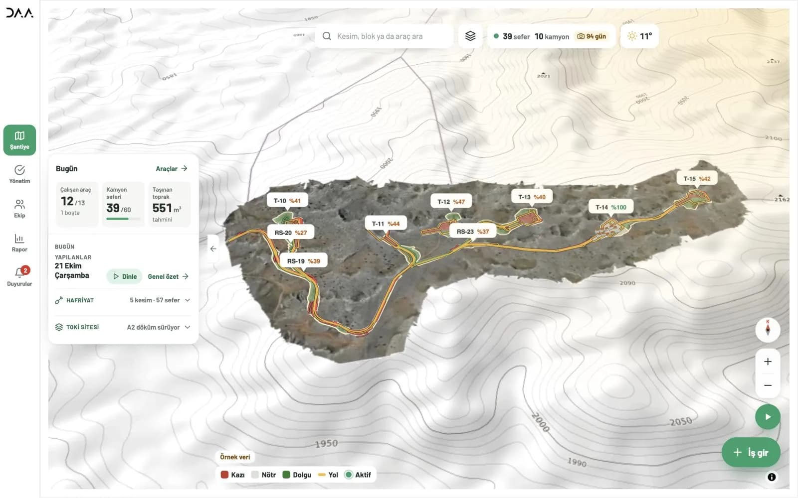
Akıllı Şantiye
A DAA product where all three areas work together. It tracks excavation and construction sites on a 3D terrain model and brings vehicles, trips and the day's work into one screen on web and mobile.
- Engineering SolutionsField survey and 3D terrain model
- GIS SolutionsCut and trip tracking on the map
- Software & AI SolutionsWeb and mobile app used by the teams
Not sure which area you need?
Describe your need in a few sentences; we'll pick the right team and approach.