

The Future of Surveying Engineering: 2025-2026 Trends and the Technology Shift
The move from measurement to spatial data management with AI, autonomous systems and digital twins.

Contents

Surveying engineering (geomatics engineering) is going through a deep transformation driven by the innovations of the digital age. 2025 and 2026 will be a critical period in which the field moves beyond being a discipline that only measures and takes on a structure centred on "data management and spatial intelligence". We looked at this process, in which traditional methods are quickly giving way to AI-assisted analysis, autonomous systems and digital twins.
Here are the main trends shaping the future of surveying engineering:
1. The Rise of Artificial Intelligence (AI) and Automation
By 2026, AI is expected to be fully integrated into surveying engineering workflows. Collecting data is no longer enough; the data has to be made meaningful.
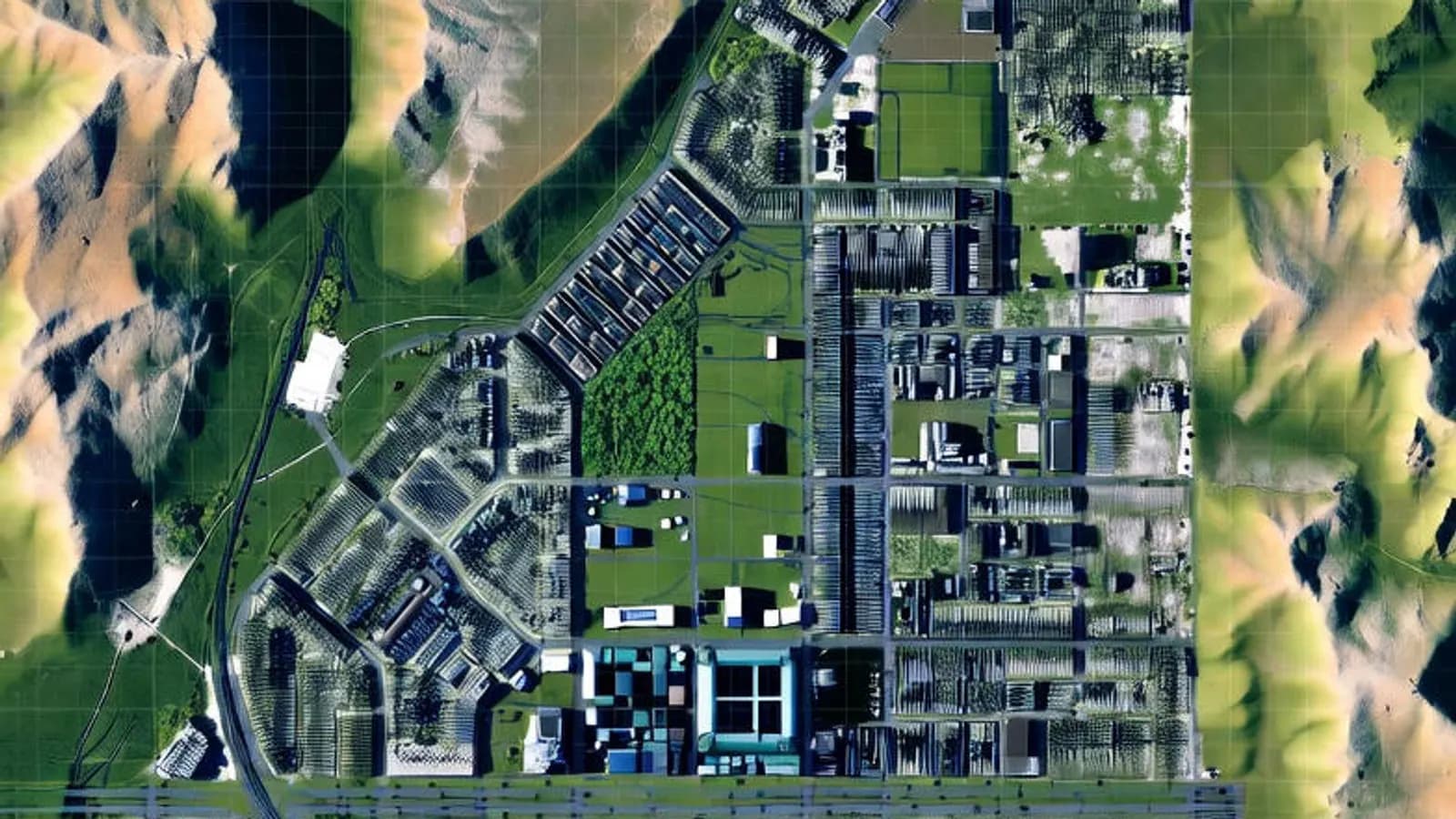
- Automated data processing: AI algorithms can automatically classify the raw data collected (point clouds, satellite images). In a land scan, for example, they can tell trees, buildings and roads apart without manual intervention.
- Speed and accuracy: Complex calculations are done in seconds, which noticeably shortens project delivery times.
2. Advanced Reality Capture: LiDAR and UAV Systems
Drone (UAV) technology and LiDAR (laser scanning) have become essential to surveying engineering. In 2025 there is a large increase in mobile mapping and airborne laser scanning.

- *Integrated solutions:* Airborne and terrestrial scans are combined to create 3D models with millimetre accuracy.
- *Cost efficiency:* As UAVs become more common, the cost of aerial mapping falls and the technology becomes accessible to smaller projects as well.
3. Digital Twins and BIM Integration
The concept of the "digital twin" is at the centre of construction and urban planning.
- Smart cities: By creating virtual copies of physical assets, city management, energy efficiency and disaster planning can be simulated.
- BIM (Building Information Modelling): The precise spatial data provided by surveying engineers forms the basis of BIM models. This integration minimises construction errors and optimises project management.
4. Industry Growth and the Vision Ahead
The global market size of the geospatial industry is expected to grow rapidly in the coming years. Growth in North America and Europe stands out, and in Türkiye urban renewal, infrastructure projects and disaster management keep the demand in this field alive.
In conclusion, surveying engineering is on its way to becoming one of the engineering disciplines that makes the best use of technology. Engineers who think analytically, adapt to technology and understand data management will play a key role in building the world of the future.
Related articles

Industry
Digital Transformation in Surveying Engineering
How digital tools are changing surveying engineering workflows and planning.

Industry
What Is Surveying Engineering and Why Does It Matter?
The scope of surveying engineering and its role in the built environment.
GIS
Vector and Raster Maps: Differences and Uses
The structure and strengths of the two data models, and which one to choose for which job.