

Digital Transformation in Surveying Engineering
How digital tools are changing surveying engineering workflows and planning.
Contents
- Digital Transformation in Surveying Engineering: Plan the Future with DAA
- What Is Surveying Engineering and Why Does It Matter?
- What Are the Advantages of Digital Surveying Engineering?
- The Services DAA Offers
- Why Choose DAA?
- Technologies Shaping the Future: Drones and LiDAR
- Frequently Asked Questions
- Where are surveying engineering services used?
- How long does drone mapping take?
- How are surveying engineering prices determined?
- Let's Get Started
Digital Transformation in Surveying Engineering: Plan the Future with DAA
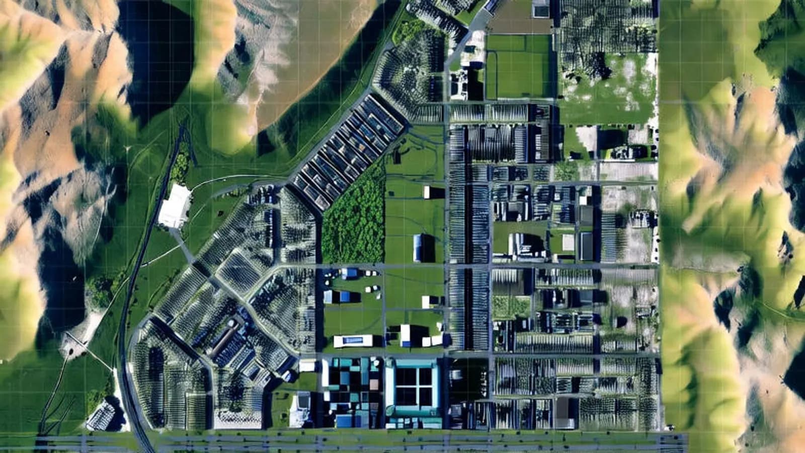
Surveying engineering is a critical discipline that shapes the future in many fields, from urban planning to infrastructure projects. DAA makes a difference in the sector with innovative solutions in surveying engineering, project engineering, topographic surveys, GIS (geographic information systems) and 3D modelling. So why is digital surveying engineering so important, and how does it add value to your projects? Let's look at the details together.
What Is Surveying Engineering and Why Does It Matter?
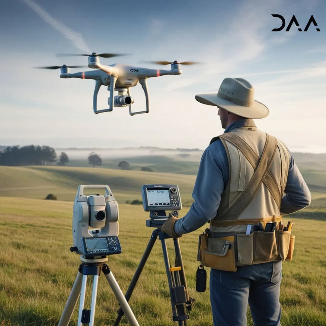
Surveying engineering covers measuring, analysing and planning the Earth's surface. It plays a vital role in urban renewal, infrastructure projects, expropriation maps and smart city planning. Traditional methods are now giving way to digital surveying engineering solutions. As a pioneer of this transformation, DAA brings speed, accuracy and efficiency to your projects with innovative tools such as drone mapping, LiDAR technology and GNSS (satellite positioning).
What Are the Advantages of Digital Surveying Engineering?
Digital technologies have made surveying engineering faster, more economical and more environmentally friendly. Here are the main benefits of digital surveying engineering:
- High accuracy: LiDAR and GNSS technologies measure with very high precision. This is critical for construction projects, cadastral maps and deformation analyses.
- Fast data collection: drone mapping produces detailed topographic maps of large areas within hours.
- Flexible solutions: GIS-based analyses make it easy to adapt data to different projects.
- Sustainability: digital maps reduce paper use and offer an environmentally friendly approach.
- Cost savings: fast, accurate surveys shorten project timelines and protect your budget.
By bringing these advantages to your projects, DAA becomes a reliable partner for your surveying and project engineering needs.
The Services DAA Offers
DAA offers comprehensive surveying engineering and project engineering services. With our expert team and the latest equipment, we are with you at every stage of your project. Here are our main services:
- Topographic maps: high-accuracy maps for construction, road and infrastructure projects.
- Cadastre and expropriation: professional solutions from parcel surveys to expropriation maps.
- 3D modelling: detailed 3D maps and analyses of complex structures and terrain.
- Drone mapping: fast, economical data collection over large areas.
- GIS-based solutions: data analysis for smart city projects and infrastructure planning.
- Deformation analyses: precise measurements for bridges, dams and historic buildings.
Get in touch and discover the solutions we tailor to your project. DAA also takes a competitive and transparent approach to pricing.
Why Choose DAA?
DAA makes a difference in the sector with its experience and innovative approach. Here are some reasons to choose us:
- Expert team: quality service from surveying and project engineers who are specialists in their field.
- Latest technology: up-to-date solutions with technologies such as LiDAR, drones and GNSS.
- Customer focus: solutions tailored to each project, and transparent communication.
- Fast delivery: time savings by speeding up processes with digital tools.
- Reasonable cost: competitive prices without compromising on quality.
Get a quote for your project and discover the DAA difference.
Technologies Shaping the Future: Drones and LiDAR
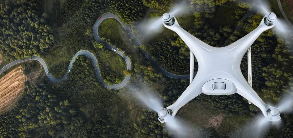
Drone mapping and LiDAR technology are indispensable tools of modern surveying engineering. DAA adds value to your projects with these technologies:
- Drone mapping: fast, low-cost data collection over large areas. Ideal for motorway projects, mining sites and agricultural land.
- LiDAR technology: precise measurements even under dense vegetation. Excellent for tunnel projects, historic restorations and infrastructure planning.
These technologies both save time and increase the reliability of your projects.
Frequently Asked Questions
Where are surveying engineering services used?
Surveying engineering plays a critical role in many areas such as construction, urban renewal, infrastructure, expropriation, smart city projects and environmental planning.
How long does drone mapping take?
Depending on the size of the project, drone mapping is usually completed within a few hours to a day.
How are surveying engineering prices determined?
Prices depend on the scope of the project, the size of the land and the technology used. DAA offers a free site assessment and quote.
Let's Get Started
DAA is here to add value to your projects in surveying engineering and project engineering. Do you need a topographic map, 3D modelling, drone mapping or GIS analysis? We offer the most suitable solutions with our expert team. Get in touch and let's take the first step of your project.
DAA: Your maps, our future.
Related articles

Industry
The Future of Surveying Engineering: 2025-2026 Trends and the Technology Shift
The move from measurement to spatial data management with AI, autonomous systems and digital twins.
Industry
What Is Surveying Engineering and Why Does It Matter?
The scope of surveying engineering and its role in the built environment.
GIS
Vector and Raster Maps: Differences and Uses
The structure and strengths of the two data models, and which one to choose for which job.