

GNSS in Surveying Engineering: A Guide to Precise Survey Techniques
The factors that affect precision in satellite positioning, and the survey techniques used.
Contents
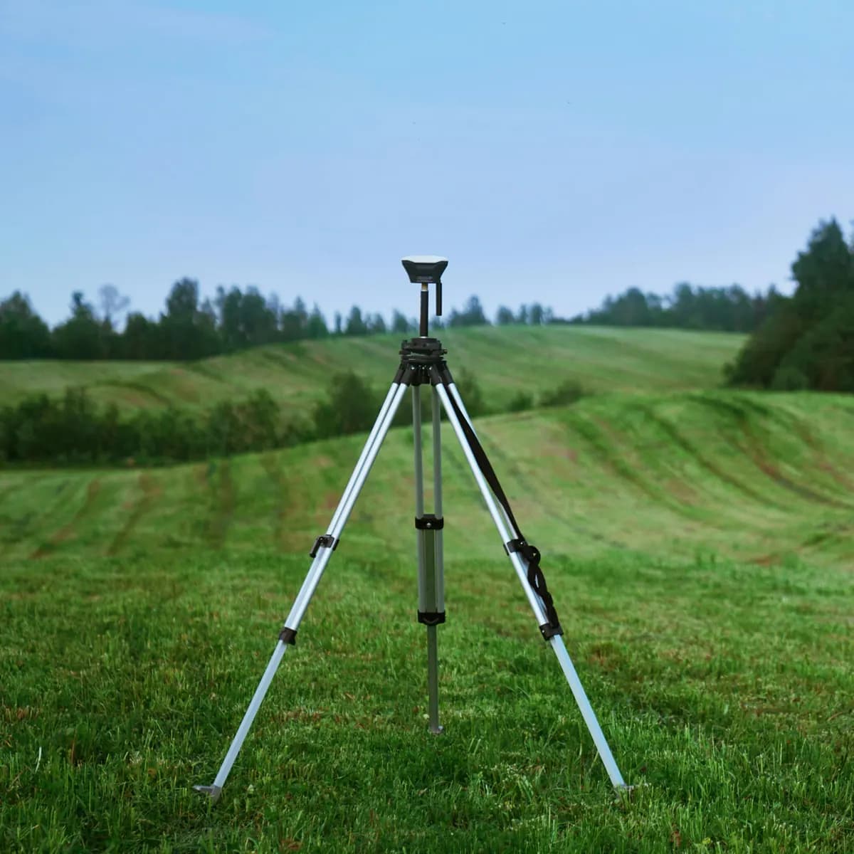
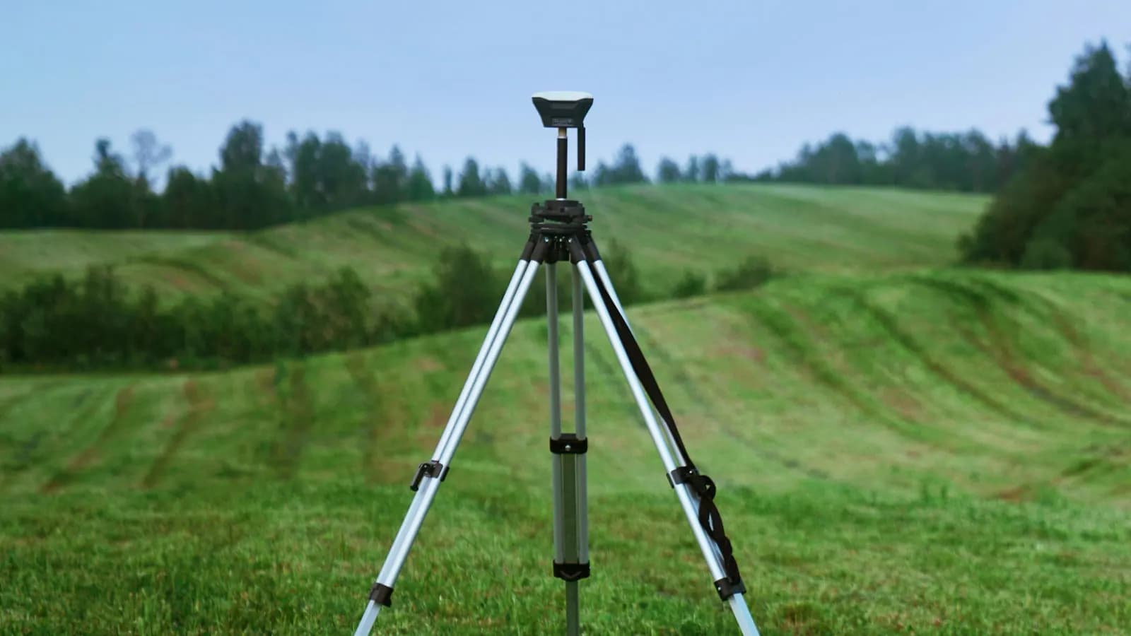
Surveying engineering is the cornerstone of measuring and planning the world, and GNSS in surveying engineering is the key to precision. GNSS (global navigation satellite systems) determines points on the Earth's surface at the centimetre level with technologies such as GPS, GLONASS and Galileo. So what is GNSS, which survey techniques are used and which one is right for you? In this guide you will learn about GNSS survey techniques and their advantages.
What Is GNSS?
GNSS is a satellite-based positioning system. In surveying engineering it is used in a wide range of work, from land surveys to urban planning. GNSS gives high accuracy even on complex projects. For example, it is indispensable when setting out the foundation points of a bridge or in cadastral work.
GNSS Survey Techniques Used in Türkiye
In surveying engineering, different methods suit different needs. Here are the most common GNSS survey techniques:
1. Static Survey
- Definition: data is collected at a fixed point for hours.
- Uses: setting up control points, deformation measurements.
- Advantages: millimetre-level precision.
- Disadvantages: time-consuming, not suitable for fast projects.
2. RTK (Real-Time Kinematic)
- Definition: coordinates are determined instantly through real-time communication with a reference station.
- Uses: cadastre, construction, fast mapping.
- Advantages: results in seconds, data checked in the field.
- Disadvantages: depends on an internet connection.
3. PPK (Post-Processed Kinematic)
- Definition: data is collected in the field and processed in the office.
- Uses: drone mapping, projects with a risk of signal loss.
- Advantages: no connection needed, flexible use.
- Disadvantages: office processing is needed for results.
4. Rapid Static
- Definition: a short, 10 to 30 minute version of the static survey.
- Uses: mapping projects that need moderate precision.
- Advantages: faster than static, good accuracy.
- Disadvantages: not as immediate as RTK.
Which GNSS Technique Is Best?
Choosing the right method for your project is critical. Here is a quick guide:
- For fast results: RTK gives data instantly in the field.
- For high precision: a static survey is best.
- If you need flexibility: PPK is a lifesaver on difficult terrain.
- For a balanced solution: rapid static offers a middle way.
A Practical Guide to Using GNSS
- Project analysis: define your precision and time requirements.
- Equipment check: calibrate your GNSS receivers.
- Method selection: prepare an internet connection for RTK, or data storage for PPK.
- Data processing: use software such as Trimble Business Center in the office.
- Verification: confirm the results with check measurements.
Why Does GNSS Matter in Surveying Engineering?
GNSS is the backbone of modern surveying engineering. With its speed, accuracy and flexibility it takes your projects to the next level. For more information you can visit sources such as the Chamber of Surveying and Cadastre Engineers (TMMOB HKMO).
To use our services in these areas or to request a quote, you can contact us.
Related articles
GNSS and survey methods
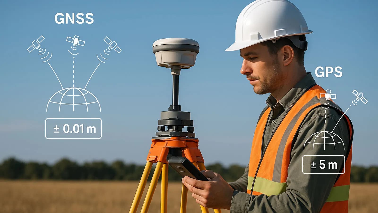
Techniques Used in High-Precision GPS Surveys (RTK, PPK, DGPS)
How RTK, PPK and DGPS work to give centimetre-level positions.
GNSS and survey methods
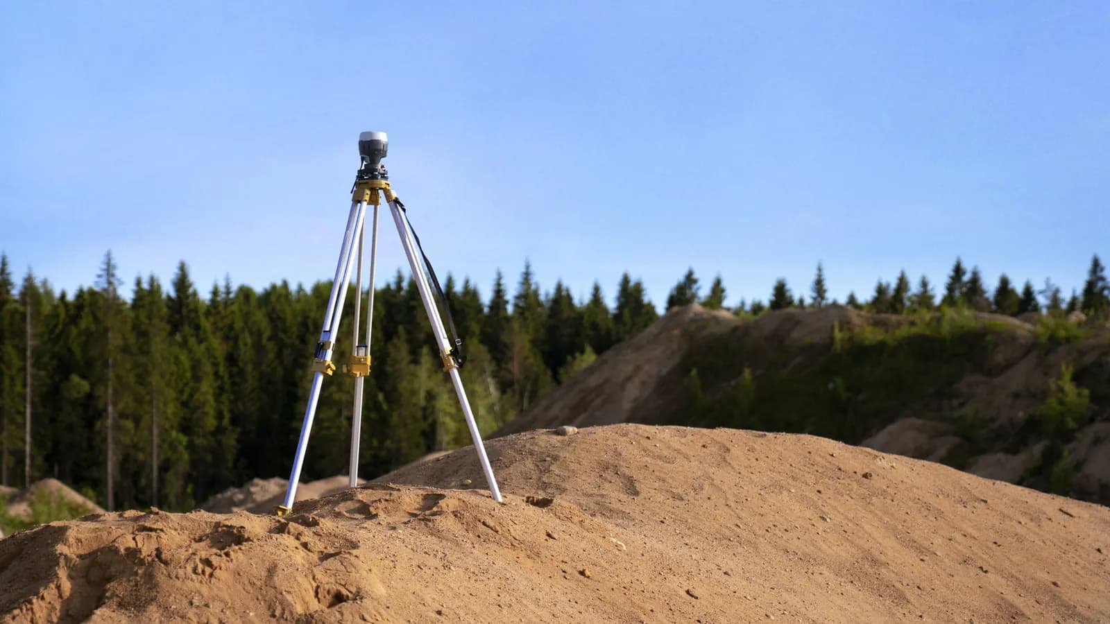
What Are RTK, PPK, CORS, Static and Kinematic Surveys? Which One Should You Choose?
A comparison of GNSS survey methods and how to choose the right one in the field.

Industry
The Future of Surveying Engineering: 2025-2026 Trends and the Technology Shift
The move from measurement to spatial data management with AI, autonomous systems and digital twins.