

What Are RTK, PPK, CORS, Static and Kinematic Surveys? Which One Should You Choose?
A comparison of GNSS survey methods and how to choose the right one in the field.
Contents
In producing geographic data, accuracy and speed are the keys to a project's success. In fields such as surveying engineering, construction, mining and agriculture, providing precise position information is no longer just a preference but a necessity. In this article we explain RTK, PPK, CORS, static surveys and kinematic surveys, describe how they differ and share which one suits which project.
What Is RTK? (Real-Time Kinematic)
RTK (real-time kinematic) is a positioning method that corrects GNSS data in real time. An RTK system has a fixed reference station and a moving receiver (rover). Using the correction data from the fixed station, the system calculates the rover's position with centimetre-level precision.
Advantages:
- Gives results in real time
- High accuracy
- Ideal for dynamic settings such as drones, agricultural machinery and construction sites
Disadvantages:
- Depends on a mobile network or radio link
- The survey can be interrupted if the signal is lost
What Is PPK? (Post-Processed Kinematic)
PPK (post-processed kinematic) works much like RTK, but the position corrections are made by processing the data after it is collected, not in real time. This method is preferred especially for drone mapping.
Advantages:
- Not affected by site conditions (connection, signal)
- Gives more continuous data on drone flights
- Allows more flexible and secure data production
Disadvantages:
- Data cannot be checked instantly
- Needs processing time afterwards
What Is CORS? (Continuously Operating Reference Station)
CORS (continuously operating reference station) is a network of fixed GNSS receivers that run continuously. CORS data is needed for techniques such as RTK and PPK to work properly. In Türkiye this infrastructure is provided by the TUSAGA-Aktif system.
Benefits:
- Provides high-accuracy data
- Removes the need to set up an extra base station
- Saves time and money
What Is a Static Survey?
A static survey is based on a GNSS receiver collecting data at a fixed point for a set period. This method is usually used for setting up geodetic networks and producing high-accuracy control points.
Uses:
- Measuring C1, C2 and C3 control points
- Large-scale map production
- Monitoring ground movement
Advantages:
- Very high accuracy (millimetre level)
- Reliable over long distances
Disadvantages:
- Requires long data collection
- Does not give real-time results
What Is a Kinematic Survey?
A kinematic survey is a technique in which the GNSS receiver collects data continuously while moving. It is usually used in road projects, infrastructure sites and drone applications.
Advantages:
- Fast data collection
- Suitable for dynamic projects
- Allows mobile surveying
Disadvantages:
- Accuracy is lower than with static surveys
- Risk of signal loss or interruption
Which Survey Method Suits Which Project?
| Project type | Suitable survey method |
|---|---|
| Drone mapping | PPK / RTK |
| Construction setting-out | RTK |
| Setting up a geodetic network | Static |
| Infrastructure and drainage projects | Kinematic / RTK |
| Long-term deformation monitoring | Static |
| Mining and excavation work | RTK / PPK |
Conclusion
RTK, PPK, CORS, static and kinematic surveys are important tools that improve positional accuracy in many fields, above all surveying engineering. Choosing the right method for the project's needs brings big advantages in time and cost.
If you are not sure which survey method is right for your project, you can contact us for professional support.
Related articles
GNSS and survey methods
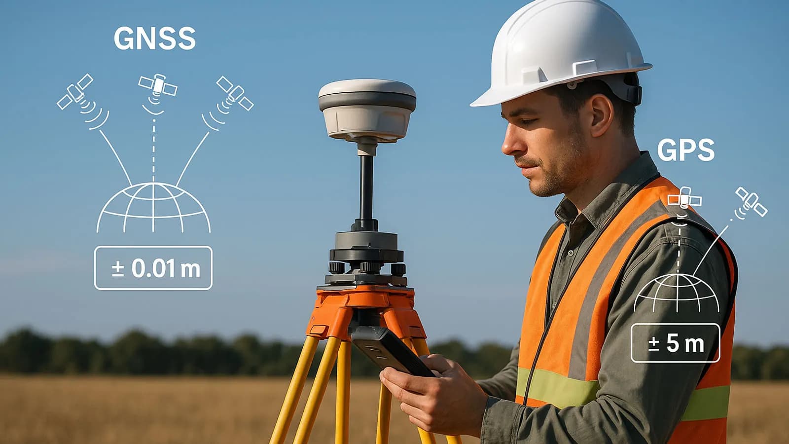
Techniques Used in High-Precision GPS Surveys (RTK, PPK, DGPS)
How RTK, PPK and DGPS work to give centimetre-level positions.
GNSS and survey methods
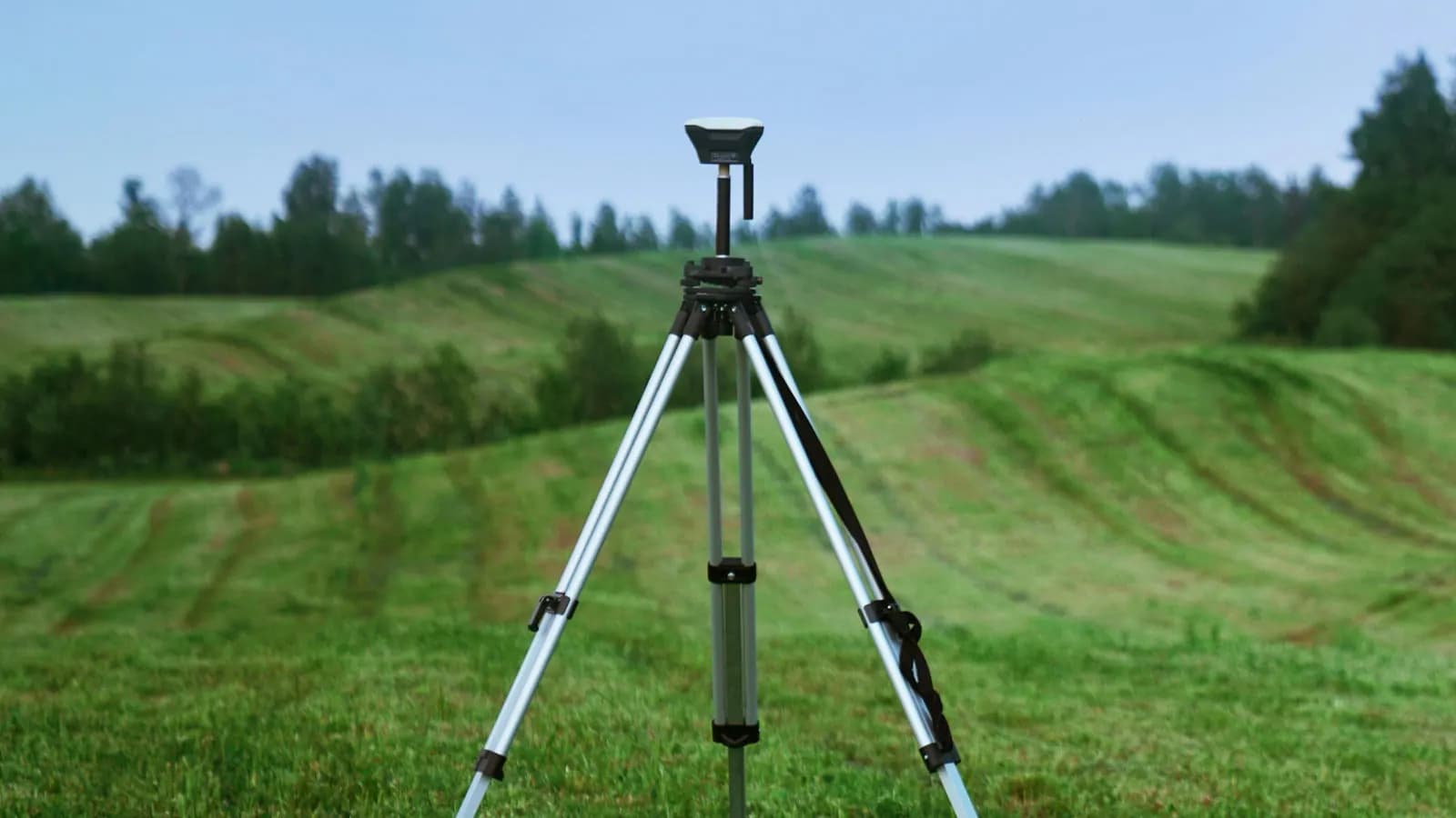
GNSS in Surveying Engineering: A Guide to Precise Survey Techniques
The factors that affect precision in satellite positioning, and the survey techniques used.

Industry
The Future of Surveying Engineering: 2025-2026 Trends and the Technology Shift
The move from measurement to spatial data management with AI, autonomous systems and digital twins.