

What Is GIS (Geographic Information Systems)? Where Is It Used?
The core components of geographic information systems and their main applications.
Contents
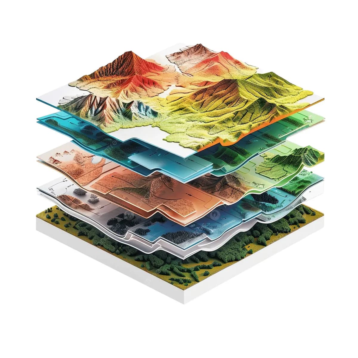
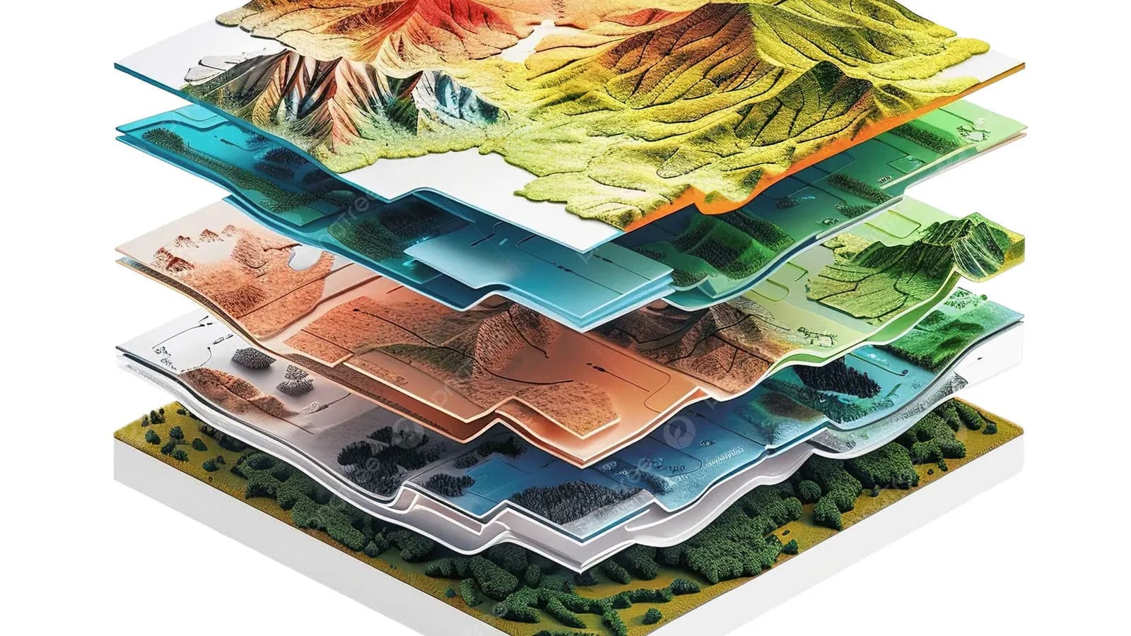
Today, a project's success depends on collecting the right data and analysing it effectively. This is exactly where GIS (geographic information systems) comes in.
GIS is defined as a set of systems that manage the collection, processing, analysis and visualisation of geographic data.
From construction projects to urban planning, and from agriculture to energy infrastructure, geographic information systems play a critical role in decision-making.
In this article we answer the question "What is GIS?" in simple, clear language and look at where it is used and the advantages it brings.
1. What Is GIS?
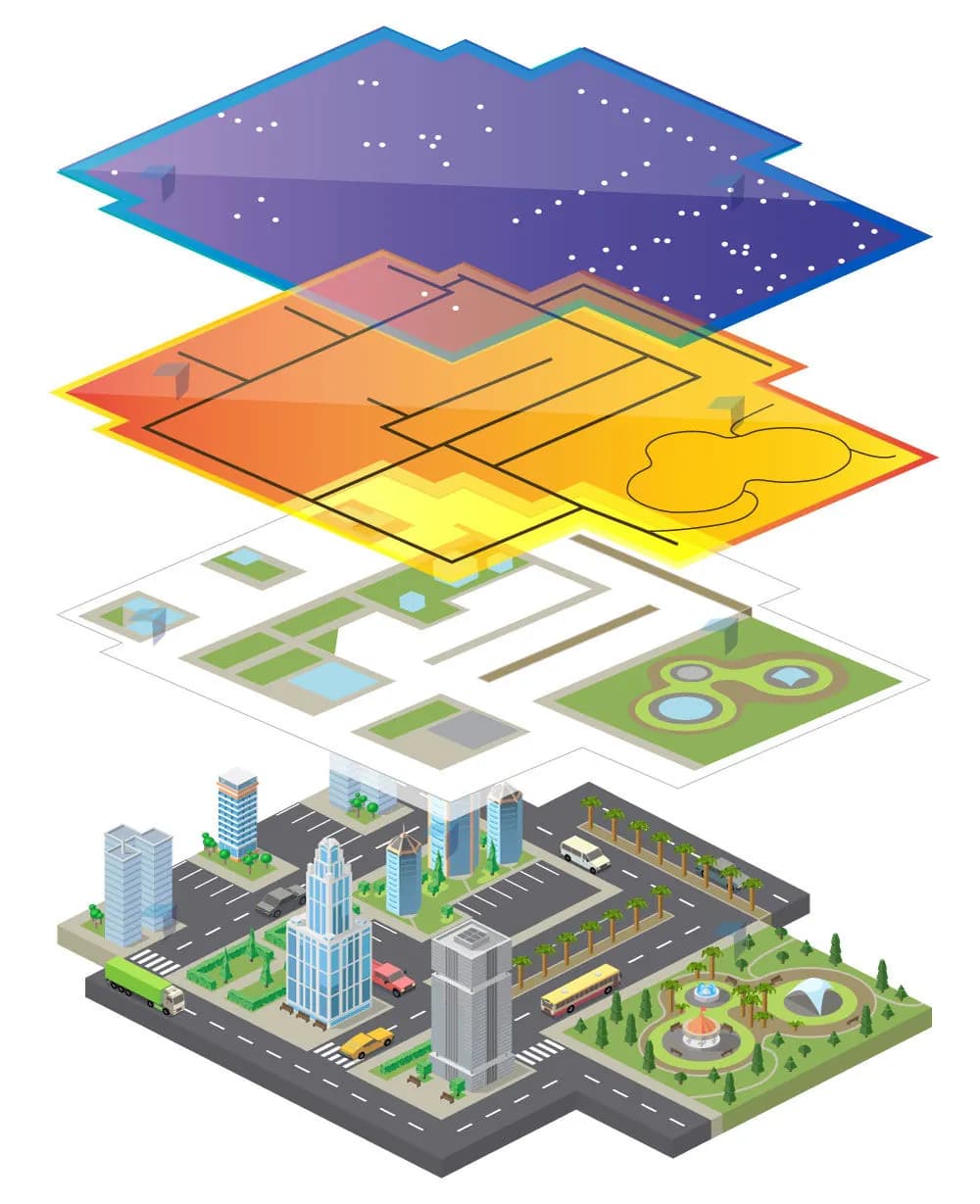
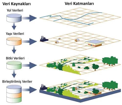
Geographic information systems (GIS) are technology-based systems for collecting, organising, analysing and presenting location-based information such as maps, satellite images and GPS data.
GIS makes spatial data more meaningful and makes it easier to take the right decisions. For example, when an urban planner develops a new housing project, they can use GIS to quickly analyse the slope of the land, the state of the infrastructure and environmental risks.
In short, GIS lets us act "in the right place, with the right information". GIS projects play a critical role in strengthening data analysis and supporting decisions in different sectors.
2. Where Is GIS Used?
GIS technology has a wide range of uses in many sectors:
- Urban planning: designing roads, buildings and infrastructure as efficiently as possible.
- Infrastructure projects: managing and optimising water, electricity and transport systems.
- Surveying engineering: precise measurements and location-based analysis.
- Disaster management: rapid response and risk analysis in natural disasters such as earthquakes and floods.
- Agriculture: analysing agricultural productivity, irrigation and soil management.
- Energy: site selection and planning for renewable energy projects.
As you can see, GIS is not limited to drawing maps; it plays an active role in strategic decisions. Its uses keep growing, and it has become indispensable especially in large-scale infrastructure and urban planning projects.
3. The Advantages of GIS
Using GIS brings projects several important advantages:
- Time savings: fast data analysis speeds up decisions.
- Lower costs: wrong investment decisions are avoided and resources are used more effectively.
- Accurate data analysis: reliable, up-to-date analyses.
- Effective project management: efficiency improves in planning, implementation and monitoring.
With the right GIS applications, projects become not only more successful but also more sustainable.
With geographic information systems, data obtained from field surveys can be analysed and evaluated immediately as part of GIS projects.
4. What to Watch in GIS Projects
A successful GIS project needs a few critical things:
- Data accuracy: every analysis rests on accurate, up-to-date data.
- Team experience: GIS systems should be set up and managed by experienced specialists.
- Good project planning: goals must be set correctly and processes managed carefully.
Because even a small mistake in a GIS project can cause large-scale problems, a professional approach is essential.
Conclusion
Geographic information systems (GIS) go beyond maps and sit at the centre of data-driven decision support.
From cities to infrastructure projects, and from agriculture to disaster management, using GIS has a direct effect on a project's success.
With the right GIS solutions it is possible to save time, money and resources.
Thanks to its wide range of uses, it is now much easier to take the right steps in both small and large GIS projects.
To learn more about our GIS projects, you can visit our GIS Solutions page.
Related articles
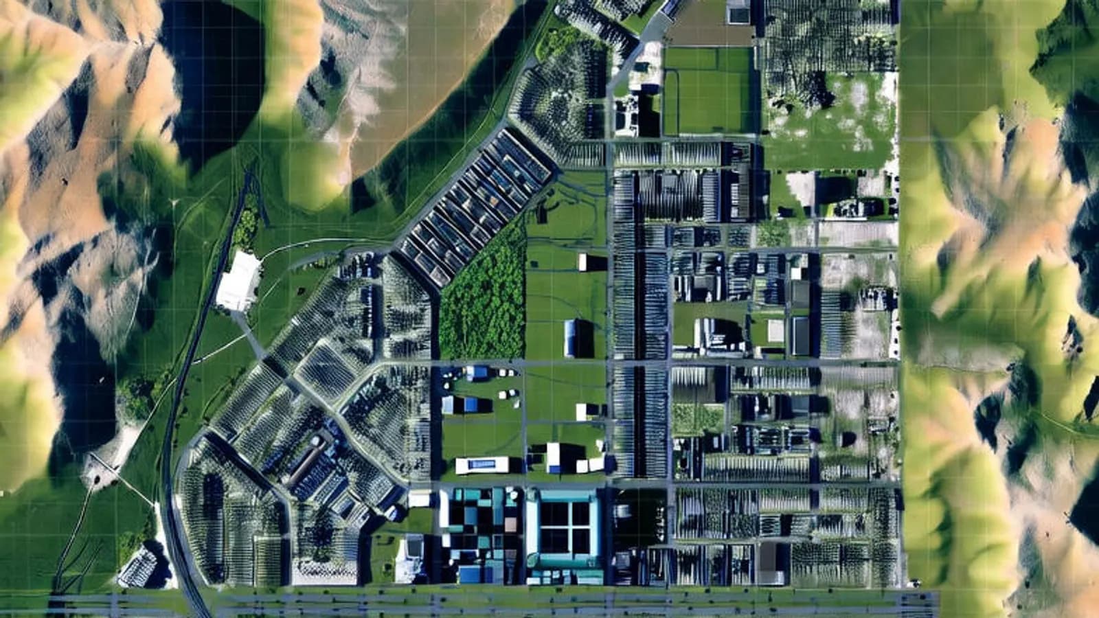
GIS
Vector and Raster Maps: Differences and Uses
The structure and strengths of the two data models, and which one to choose for which job.
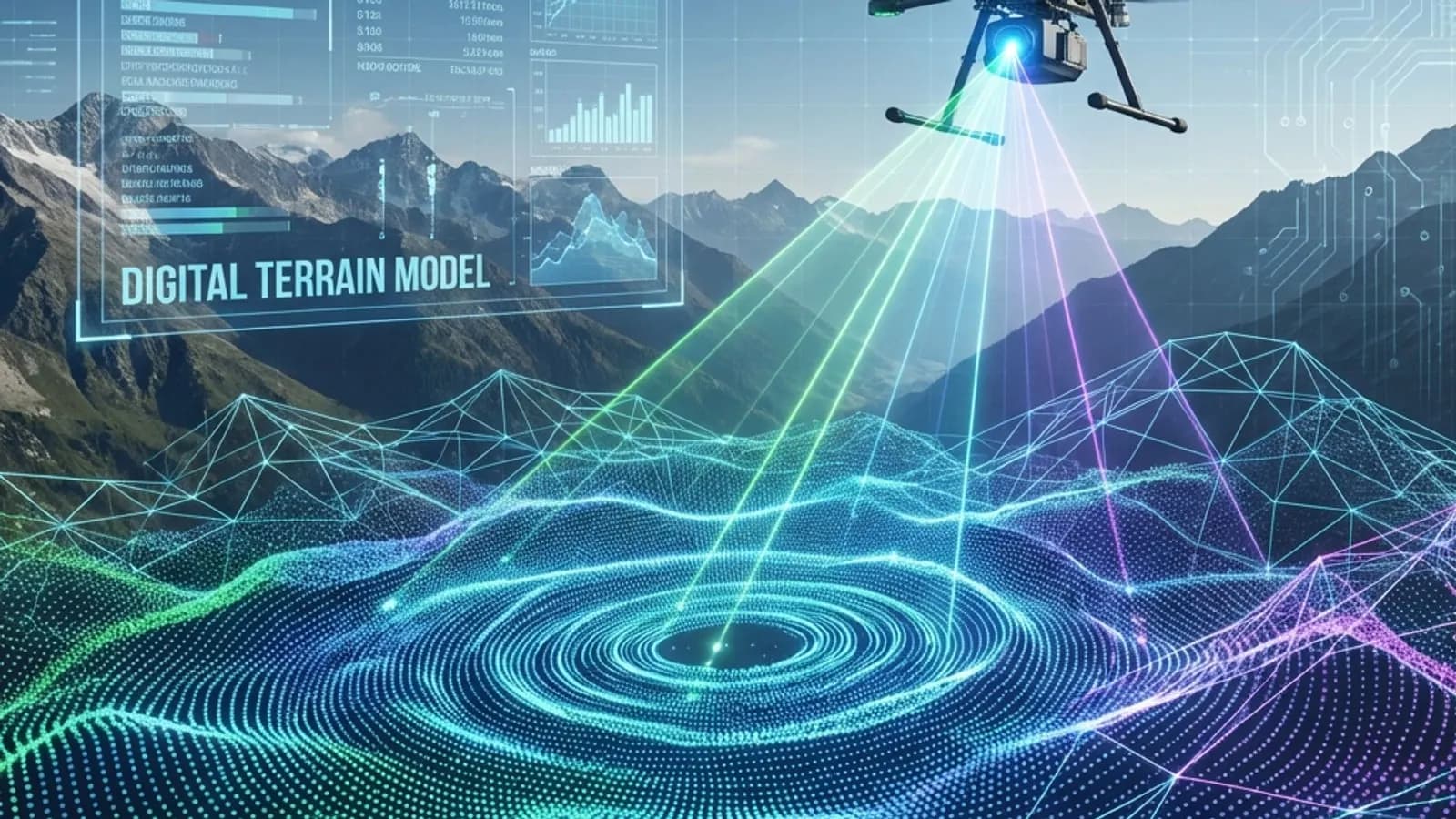
Industry
The Future of Surveying Engineering: 2025-2026 Trends and the Technology Shift
The move from measurement to spatial data management with AI, autonomous systems and digital twins.
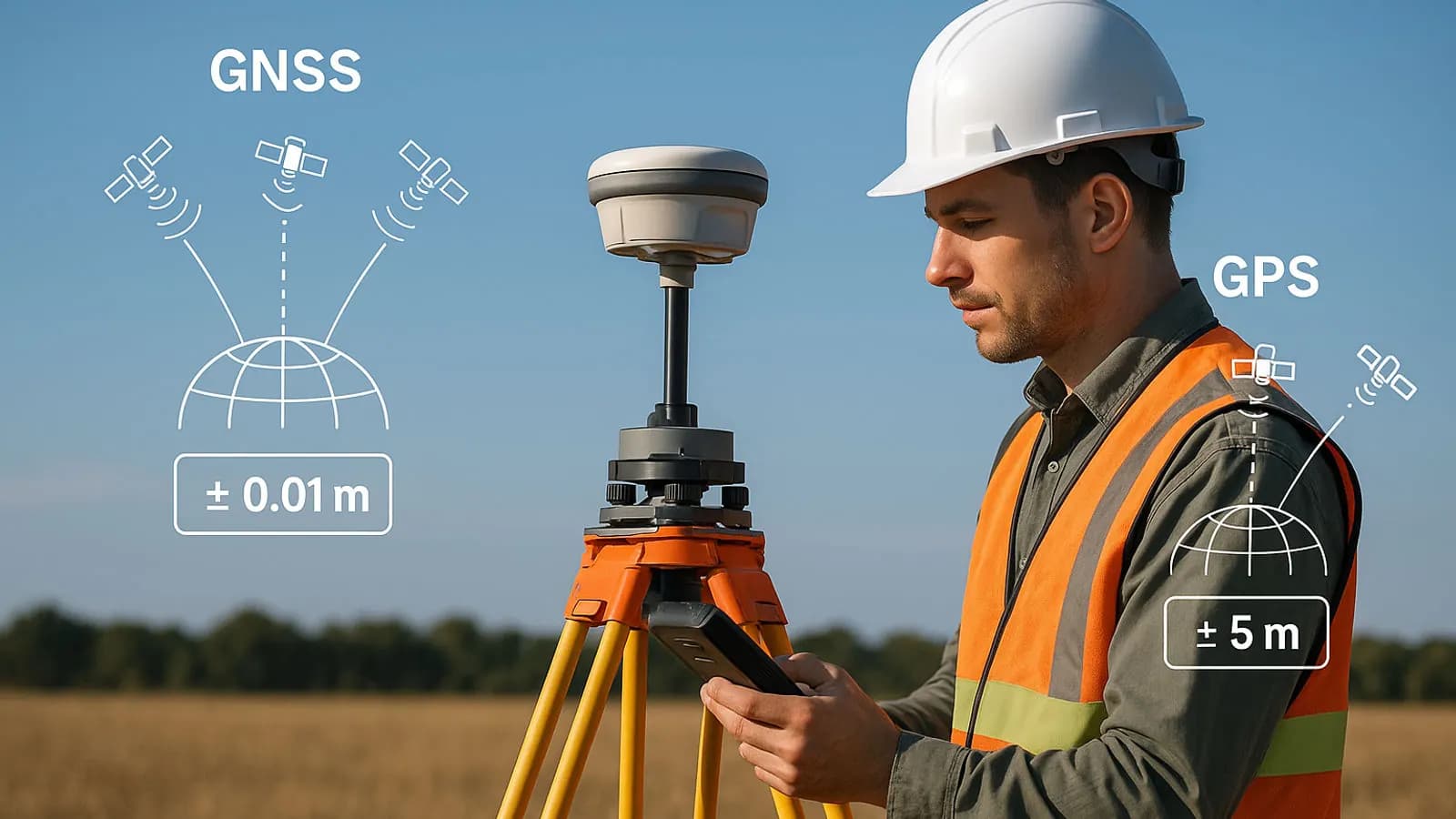
GNSS and survey methods
Techniques Used in High-Precision GPS Surveys (RTK, PPK, DGPS)
How RTK, PPK and DGPS work to give centimetre-level positions.