

Don't Leave Your Project to Chance: Why Is Accuracy in Earthwork Calculations So Important?
How small errors in volume calculations affect a project's cost and schedule.
Contents
- So What Is Earthwork Calculation?
- Earthwork Methods: One Solution Does Not Fit Every Project
- 1. The Cross-Section Method
- 2. The Grid Method
- 3. Volume Between Digital Surfaces (TIN to TIN)
- So Which Method Is Best?
- Accurate Earthwork = Confidence in the Project
- Final Word: Earthwork Is Not a Calculation, It Is a Strategy
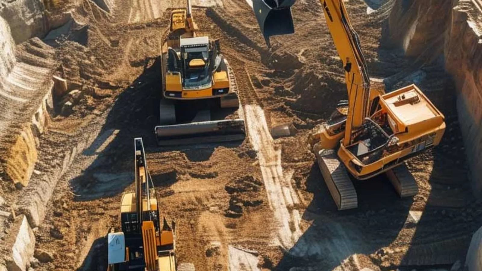
In construction projects, everyone's attention is usually on the structural work, the crews and the schedule. But another very critical job runs behind the scenes: earthwork calculations, or in other words cut and fill calculations, one of the technical building blocks that keep a project standing.
It would be a big mistake to see earthwork as just a numerical calculation. These calculations relate directly to cost, the work programme, resource planning and project safety.
So What Is Earthwork Calculation?
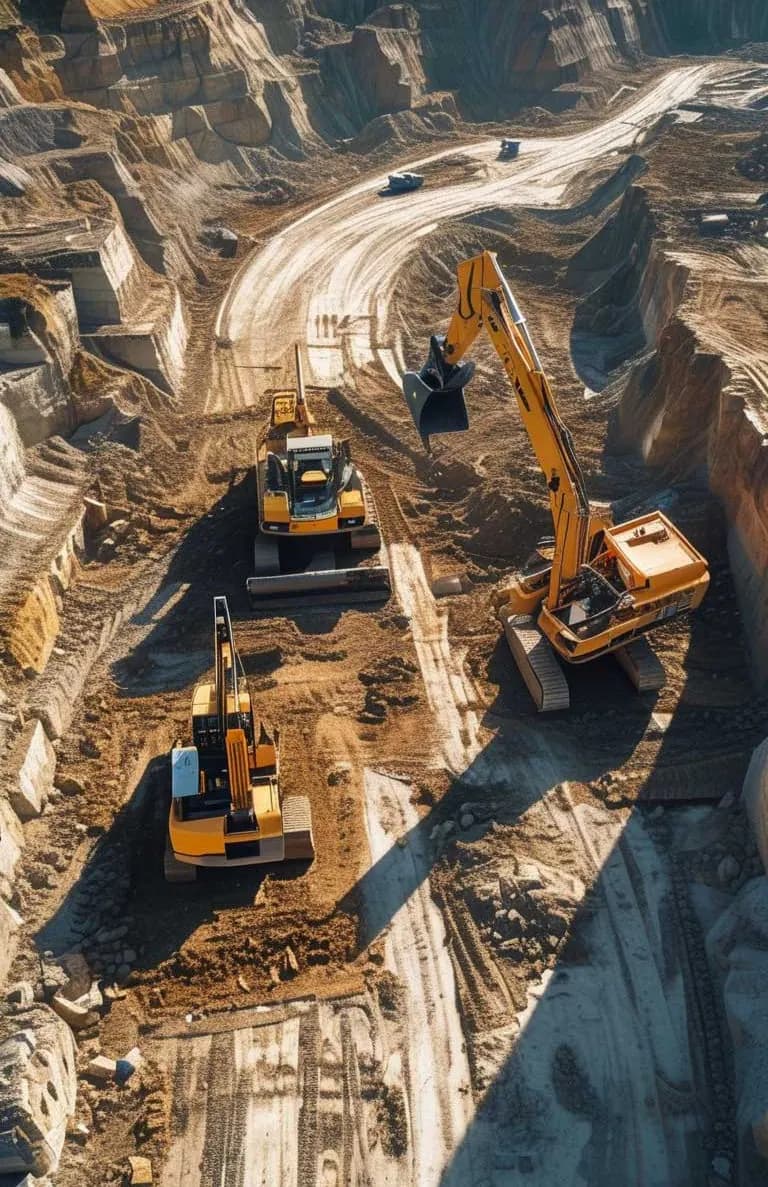
Put simply, earthwork calculation means working out how much will be excavated in an area or how much fill is needed. It answers the questions "how much of this area will be dug out?" and "how much material will be placed here?".
That is why earthwork calculations in construction are one of the most basic steps to settle before a project starts. But the calculation is not as simple as it looks. The slope of the land, height differences, the type of project, the instruments used and the survey methods all affect it significantly.
Earthwork Methods: One Solution Does Not Fit Every Project
Volumes can be calculated with different methods, each better suited to certain conditions. Here are the most common ones:
1. The Cross-Section Method
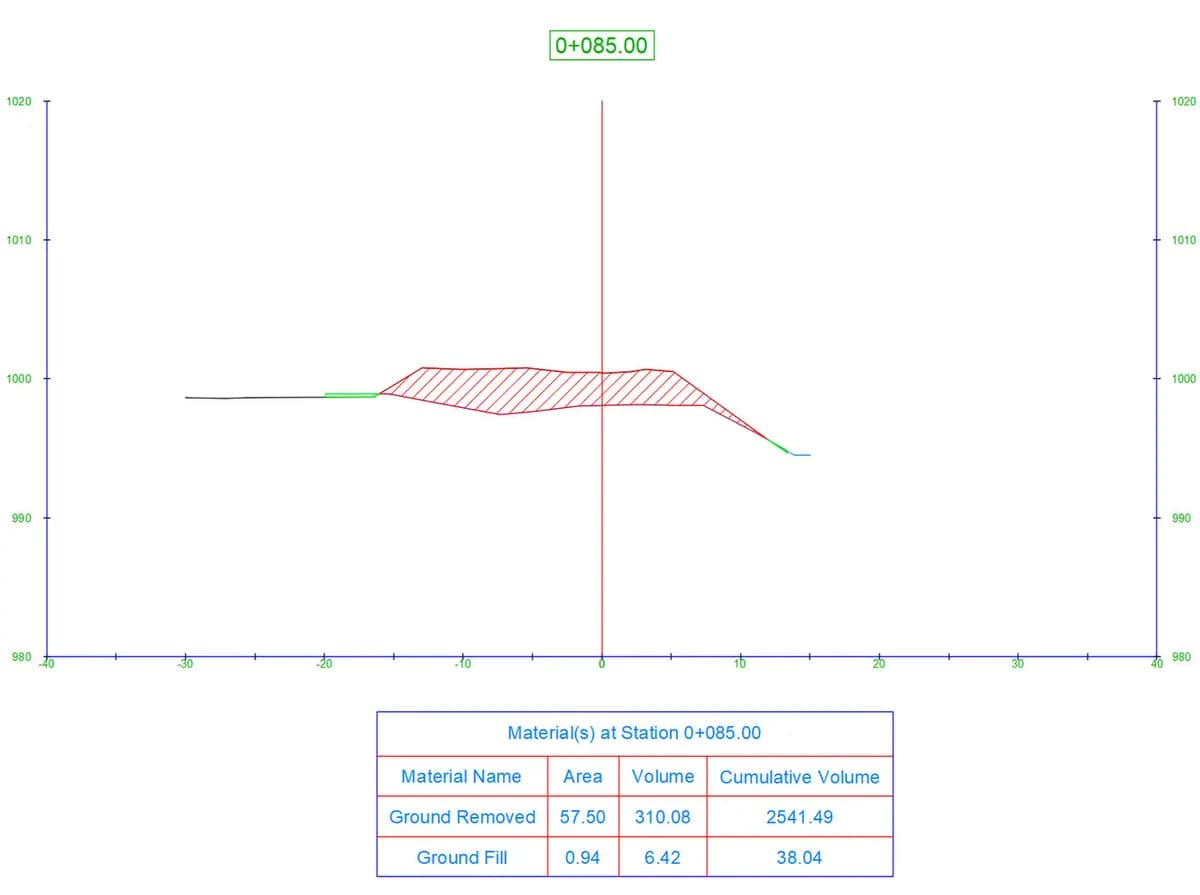
One of the most classic methods. Cross-sections are taken across the site at set intervals, and the area under each section is calculated. It is often used in linear work such as road, canal and pipeline projects.
✔ Advantage: simple and easy to understand
✖ Disadvantage: accuracy can drop on complex terrain
Note: the cross-section method is still widely used on long jobs that follow a project alignment.
2. The Grid Method
The site is divided into equal squares (for example 10 × 10 m), the height is measured in each square and the volume is calculated from these values. It reflects the general slope of the land well.
✔ Advantage: works well on regular areas
✖ Disadvantage: can miss the detailed shape of the terrain
It allows fast volume calculations on flat, open areas.
3. Volume Between Digital Surfaces (TIN to TIN)
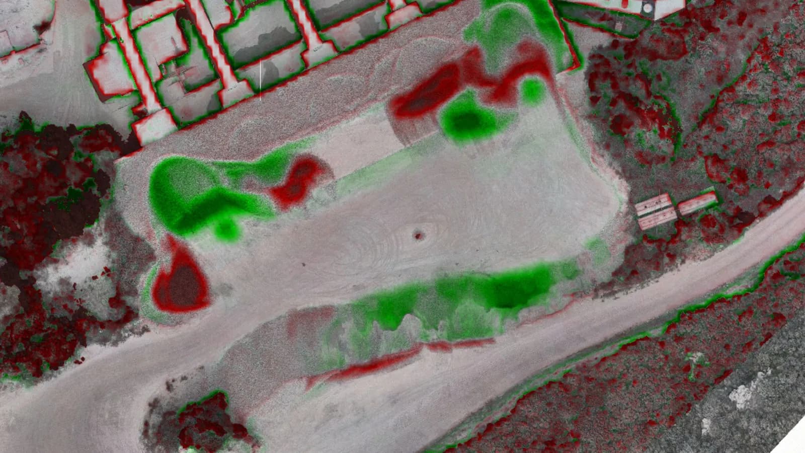
Two different surfaces (for example the existing ground and the design surface after the project) are modelled by triangulation. The cut and fill calculation is made from the difference between the two surfaces.
✔ Advantage: precise, detailed and reliable on complex terrain
✖ Disadvantage: needs instruments and software
Results from the TIN method can be combined with drone and RTK-based systems for very high accuracy.
So Which Method Is Best?
There is no single answer, because every project is different.
- The cross-section method is ideal for a road project.
- The grid method suits large-scale land grading better.
- On complex, sloping terrain the TIN method gives high accuracy.
Our approach is:
Analyse the need, not the method.
In other words, assess the site, the size and duration of the project and the technology available, and then choose the method.
Accurate Earthwork = Confidence in the Project
Earthwork errors can:
- Increase costs by 10 to 30 percent
- Extend the duration of the work
- Cause serious problems in material planning
And perhaps most importantly, they can put the people working on site in risky situations.
So don't leave your work to chance. Work with data, not guesswork. Keep errors to a minimum with modern software, GNSS-based survey systems and the right choice of method.
Final Word: Earthwork Is Not a Calculation, It Is a Strategy
Today we collect data on many projects with RTK, PPK, drone photogrammetry and laser scanning. But however advanced these are, if we don't read the data correctly, we can't make the right decisions.
The point is not just to measure, but to measure correctly, interpret correctly and use the results correctly.
That is why earthwork calculations are no longer just a technical detail but a strategic matter that shapes the fate of a project.
Related articles
Earthwork volumes
A New Era in Earthwork Calculations: Precise Volume Analysis with DEM Data
Calculating cut and fill volumes with digital elevation models.

Industry
The Future of Surveying Engineering: 2025-2026 Trends and the Technology Shift
The move from measurement to spatial data management with AI, autonomous systems and digital twins.
GIS
Vector and Raster Maps: Differences and Uses
The structure and strengths of the two data models, and which one to choose for which job.