

Drainage Line Design: The Whole Process from Field to Office
The steps of drainage line design, from the land survey to the project drawings.
Contents
- 1. What Is a Drainage Line?
- 2. The Design Process: Stages and Technical Inputs
- A. Collecting Site Data
- B. Hydraulic and Hydrological Calculations
- C. Route Planning and Drawings
- 3. Software Used
- 4. Common Construction and Design Mistakes
- 5. Why Is Correct Drainage Design Essential?
- Conclusion: From Technical Data to Sound Infrastructure
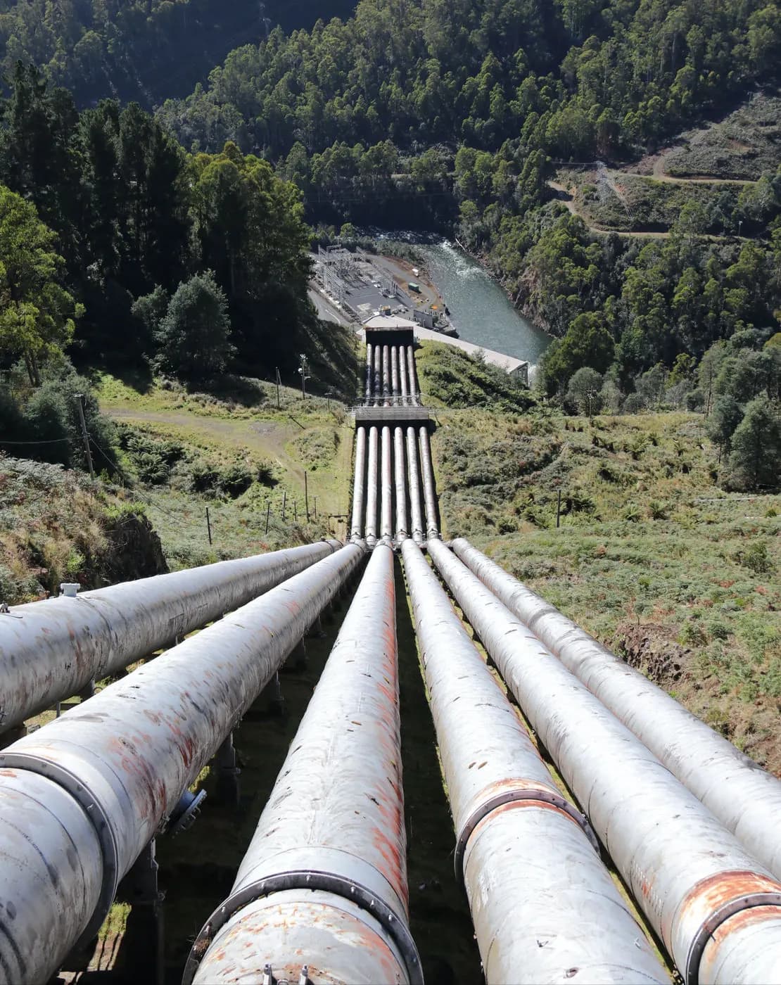
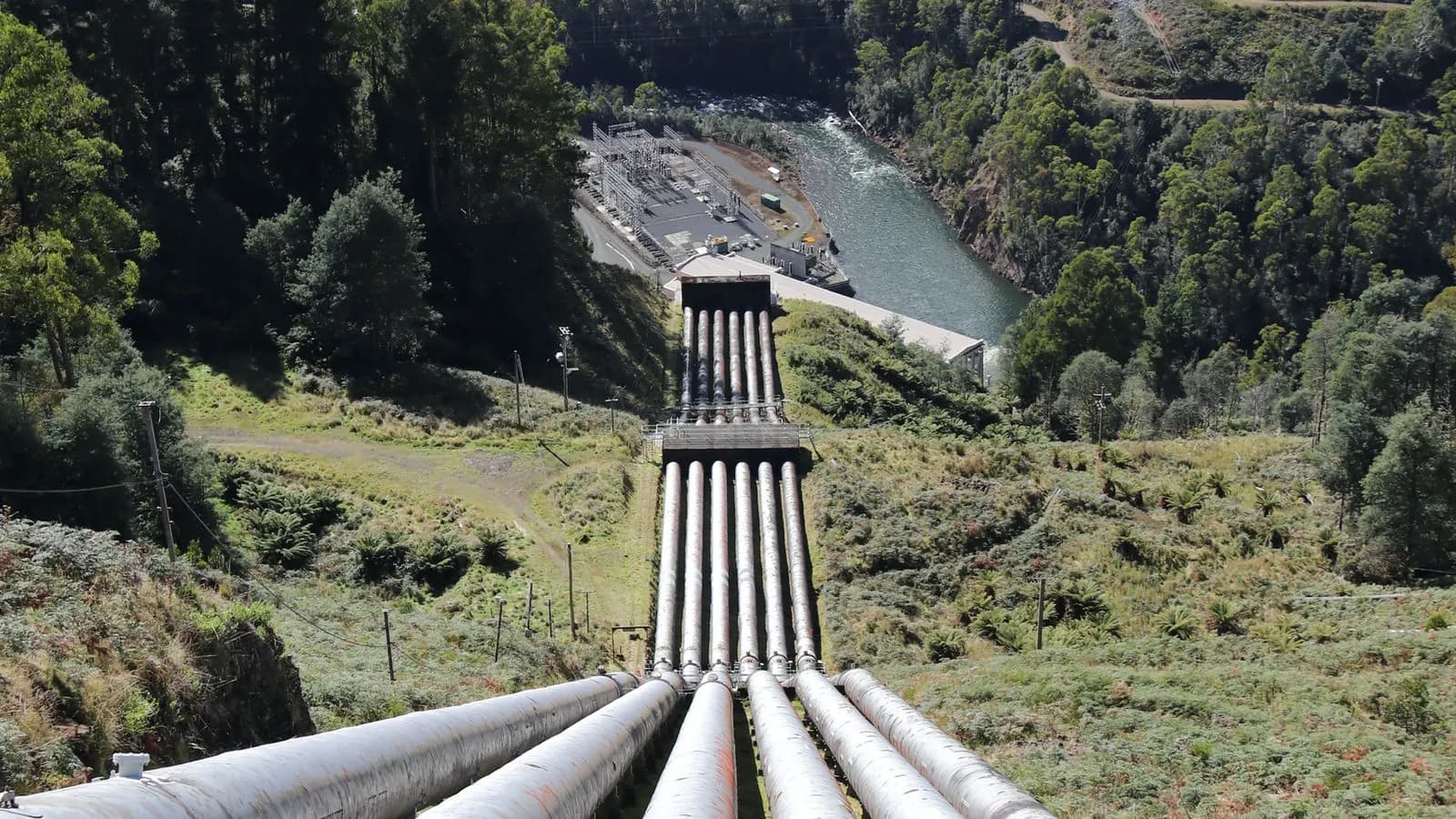
Drainage systems are often overlooked in construction and infrastructure projects, yet they play a critical role in the integrity of a project.
Inadequate or faulty drainage design can lead to road subsidence, flooding under foundations, saturated ground and long-term engineering problems.
That is why drainage line design is not only an engineering discipline but also a strategic planning process based on the reality of the site.
1. What Is a Drainage Line?
Drainage lines are infrastructure systems that carry rainwater, surface runoff and groundwater away from structures. These systems are usually considered under two headings:
- Closed drainage systems: include pipelines (corrugated, concrete, PVC), manholes, chambers and gratings.
- Open drainage systems: carry the water away through open structures such as ditches, channels and surface gutters.
How these systems are designed depends on the topography of the land, the climate and the intended use.
2. The Design Process: Stages and Technical Inputs
A. Collecting Site Data
For drainage to be designed correctly, the data collected from the site must be reliable. The main methods and tools used are:
- GNSS (RTK / PPK) surveys
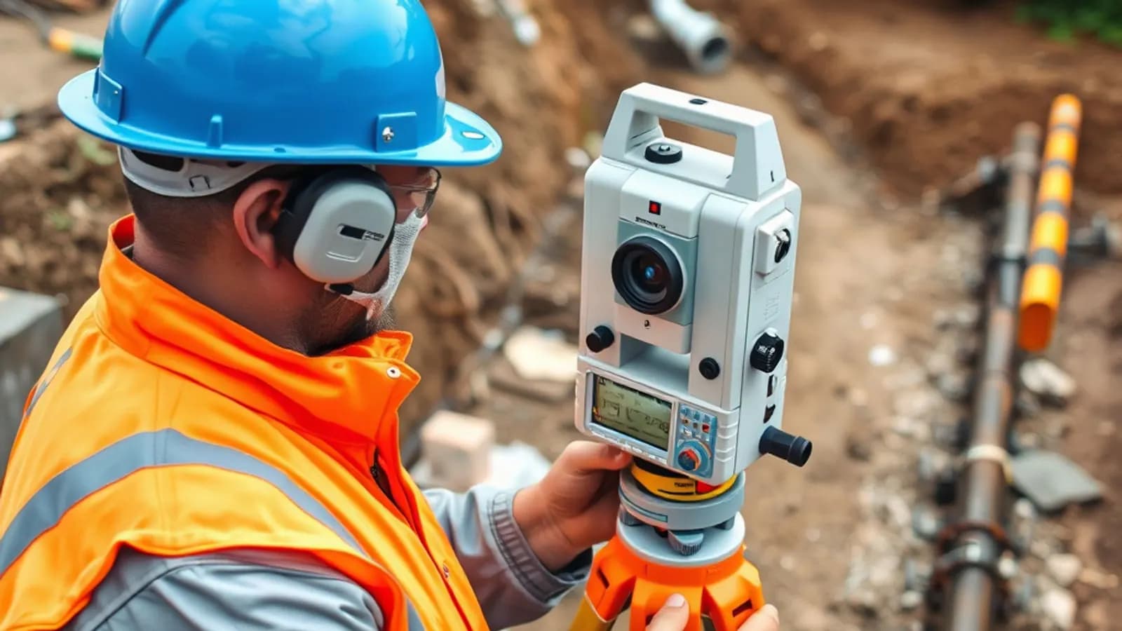
- Detailed topographic surveys with a total station
- Producing a digital elevation model (DEM)
- Analysing surface slope, flow direction and ponding areas
B. Hydraulic and Hydrological Calculations
Pipe diameters, gradients and layouts are determined from the site data together with these calculations:
- Maximum rainfall intensity and return period (from IDF curves)
- Runoff coefficients by area
- Checks of flow rate, velocity in the pipe and fill ratio
- Flood risk analysis
C. Route Planning and Drawings
In the office, the route is determined and drawn in line with the technical specifications:
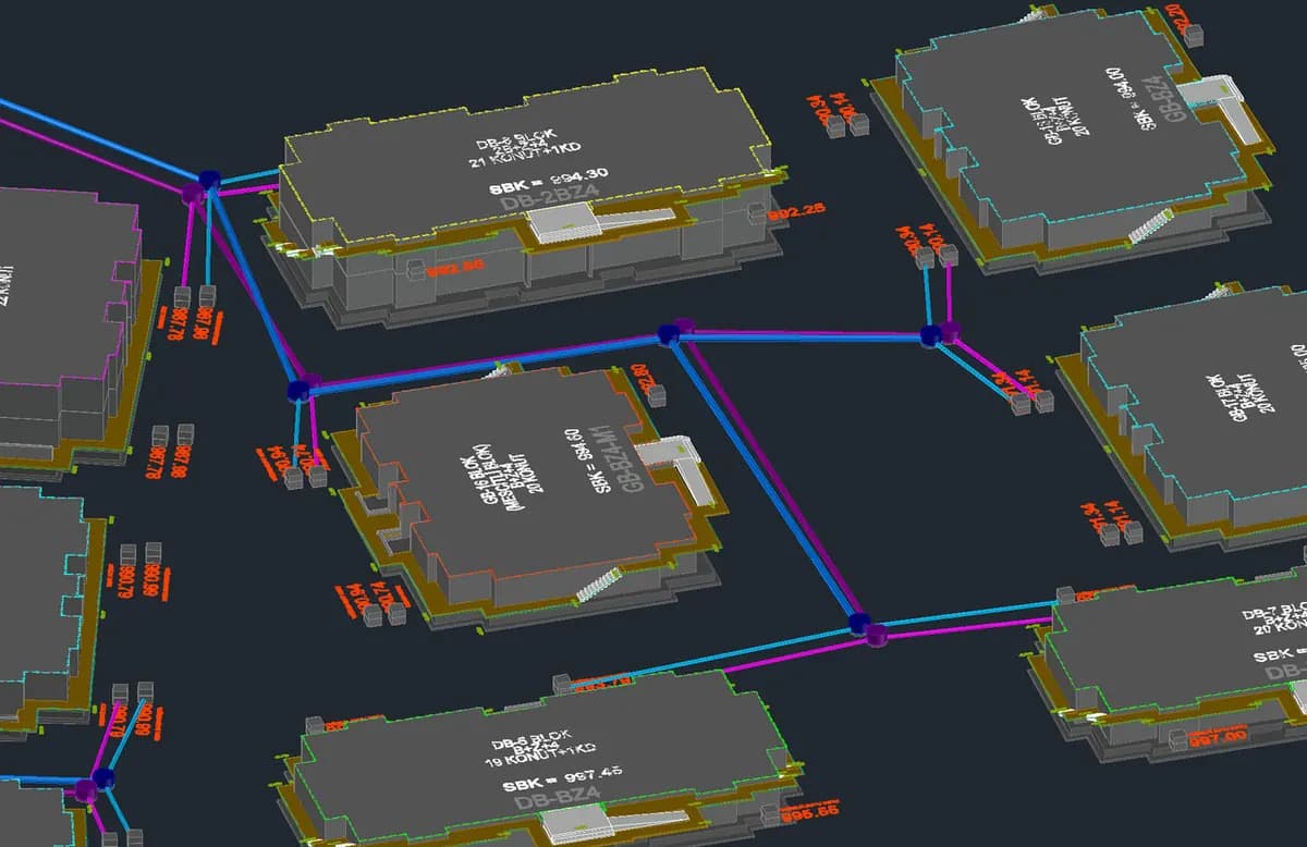
- Producing longitudinal and cross sections
- Laying out the pipes and positioning manholes and chambers
- Checking horizontal and vertical gradients
- Producing documentation with CAD or GIS-based drawing systems
3. Software Used
| Software | Use |
|---|---|
| QGIS | Slope analysis, flow direction, defining drainage basins |
| AutoCAD Civil 3D | Profile drawings, pipe network design |
| StormCAD / HEC-RAS | Hydraulic modelling and simulation |
| Netcad Zoning / Infrastructure | Producing project sheets, approval processes |
4. Common Construction and Design Mistakes
For drainage systems to work properly, these mistakes should be avoided:
- Insufficient pipe gradients that slow the flow of water
- Long distances between manholes that make maintenance and access difficult
- Wrong pipe diameters, leading to blockages and flooding
- Route planning done at a desk without site data
- Manual projects without CAD / GIS integration
5. Why Is Correct Drainage Design Essential?
A correctly designed drainage line:
- Prevents deformation in road projects
- Keeps the ground under foundations dry
- Saves materials and labour
- Minimises flooding and mud
Remember: the hidden part of a project is its most important support.
Conclusion: From Technical Data to Sound Infrastructure
Drainage projects are not just about drawings and laying pipes. They are multi-faceted infrastructure systems built on correct analysis, fit with the site, engineering discipline and advanced software. The success of the project depends on directing the water correctly.
At DAA we prepare projects for infrastructure design and calculations. To learn more, you can contact us.
Related articles
Infrastructure
How Are Water and Sewer Lines Mapped? The Surveyor's Role, Step by Step
The surveying engineer's work on utility lines, from measuring to mapping.

Industry
The Future of Surveying Engineering: 2025-2026 Trends and the Technology Shift
The move from measurement to spatial data management with AI, autonomous systems and digital twins.
GIS
Vector and Raster Maps: Differences and Uses
The structure and strengths of the two data models, and which one to choose for which job.