

How Are Water and Sewer Lines Mapped? The Surveyor's Role, Step by Step
The surveying engineer's work on utility lines, from measuring to mapping.
Contents
- The Hidden Engineering of Water and Sewerage
- The Surveyor's Tasks on Water Lines
- Preliminary Studies and Surveys
- Project Drawings
- Setting-Out and Checks
- The Surveyor's Tasks on Sewer Lines
- Route Planning and Surveys
- Construction Stage
- Data Management and GIS Integration
- Technologies and Software Used
- The Surveyor's Responsibilities
- The Invisible Map Beneath the City
The Hidden Engineering of Water and Sewerage
The water from a tap in a city and the systems below a manhole cover belong to an invisible but vital engineering network. For these systems to work safely, efficiently and sustainably, the data produced by surveying engineers is essential.
Surveyors take part in every stage of infrastructure projects, from planning and surveying to setting-out and data management.
The Surveyor's Tasks on Water Lines
On water line projects the surveying engineer is involved at these stages:
Preliminary Studies and Surveys
- Carries out topographic surveys of the route the water line will follow.
- Existing lines, roads, buildings and obstacles are identified.
- A coordinate system is set up and the project base map is prepared.
Project Drawings
- Plan and profile drawings are produced for the drinking water pipelines.
- The coordinates of pump stations, valves and connection points are determined.
- Survey data is used for the line's gradient and pressure analysis.
Setting-Out and Checks
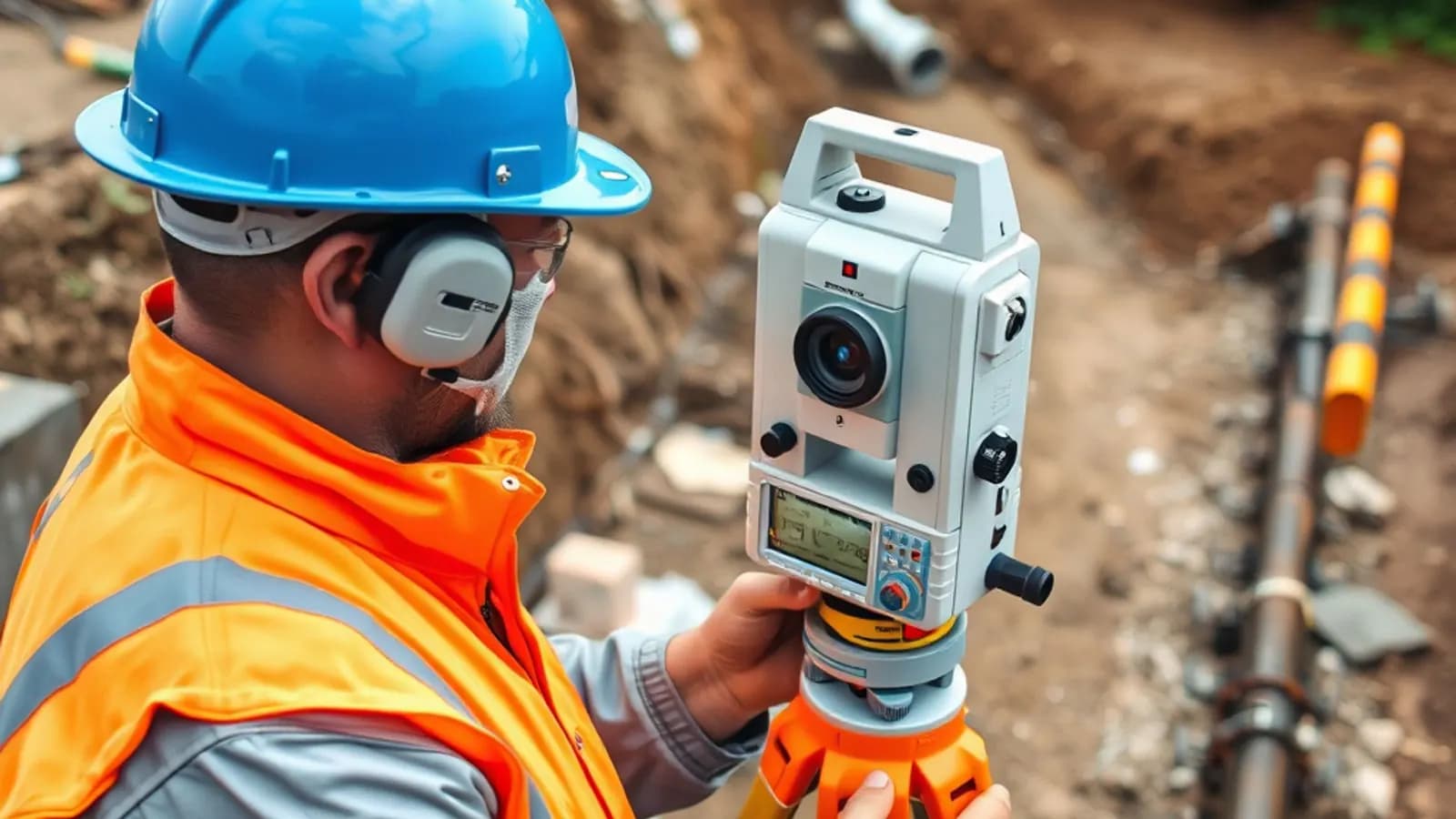
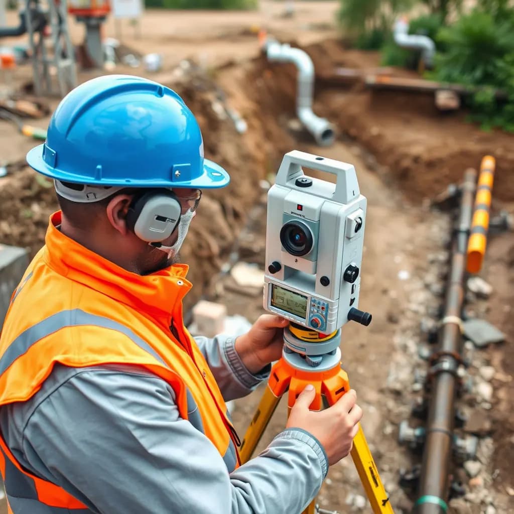
- Sets out where the pipes will be laid on site with GNSS or a total station.
- After excavation, measures the actual position of the pipes underground.
- Maps are updated with the as-built data.
The Surveyor's Tasks on Sewer Lines
In sewer systems the gradient, depth and direction of the lines are critical. That is why the surveyor's work is even more precise here.
Route Planning and Surveys
- Determines the route of the waste water line and analyses the terrain slope.
- Positions the manholes.
- Records all measurements in a coordinate system suitable for GIS.
Construction Stage
- Carries out coordinate-based setting-out of manhole covers, pipe depths and connection points.
- Confirms with check surveys that the line gradients are laid as designed.
- Produces as-built maps once construction is complete.
Data Management and GIS Integration
- All survey and construction data is transferred to GIS.
- A digital database of the sewer lines is prepared.
- Municipalities and operators can then manage faults and maintenance easily.
Technologies and Software Used
In water and sewer projects, surveying engineers usually use these technologies:
| Technology / software | Purpose |
|---|---|
| GNSS (GPS) | Determining line positions |
| Total station | Setting-out and level measurements |
| Drone / UAV | Mapping the terrain before excavation |
| AutoCAD / Civil 3D / NetCAD | Plan and profile drawings |
| ArcGIS / QGIS | GIS data management |
The Surveyor's Responsibilities
- Ensuring measurement accuracy
- Documenting the data in line with regulations
- Working in coordination with civil, mechanical and electrical teams
- Keeping GIS databases up to date
The Invisible Map Beneath the City
Surveying engineers build an invisible network so that water and sewer lines can be planned and operated correctly. Thanks to the maps they prepare:
- The position of pipelines is known,
- Faults are easier to locate,
- New projects can be planned with confidence.
In other words, behind the water from every tap and every manhole there is a city plan drawn by a surveyor.
Related articles
Infrastructure
Drainage Line Design: The Whole Process from Field to Office
The steps of drainage line design, from the land survey to the project drawings.

Industry
The Future of Surveying Engineering: 2025-2026 Trends and the Technology Shift
The move from measurement to spatial data management with AI, autonomous systems and digital twins.
GIS
Vector and Raster Maps: Differences and Uses
The structure and strengths of the two data models, and which one to choose for which job.