

A Guide to Survey Instruments: Comparing the Total Station, Level and GPS
How total stations, levels and GNSS receivers work, and what each is best used for.
Contents
- What Are Survey Instruments?
- What Is a Total Station and How Does It Work?
- Main Components of a Total Station
- Measuring with a Total Station, Step by Step
- When Is a Total Station the Right Choice?
- What Is a Level?
- Types of Level
- How Is a Levelling Measurement Taken?
- Things to Watch When Using a Level
- GPS / GNSS Survey Systems
- How Does a GNSS Receiver Work?
- Things to Watch in GNSS Surveys
- Total Station, Level or GPS: Which Instrument Should I Choose?
- Conclusion: The Right Instrument Gives the Right Data
In surveying engineering, construction, mining, energy and infrastructure projects, survey instruments are the basis of producing accurate data. Total stations, levels and GPS (GNSS) systems are the three core technologies that improve accuracy in the field and make office work easier. But each instrument has a different working principle, advantages and uses.
In this guide we explain in plain language how survey instruments work, which instrument to choose for which project and how they differ technically.
What Are Survey Instruments?
Survey instruments are geodetic tools used to determine the position and height of points on the Earth's surface and their spatial relationship to each other. With them, surveying engineers measure coordinates, elevations, distances and angles precisely.
Today, classic optical instruments have been replaced by digital systems that record data and can target automatically. Choosing the right instrument directly affects project duration, error margins and cost.
What Is a Total Station and How Does It Work?
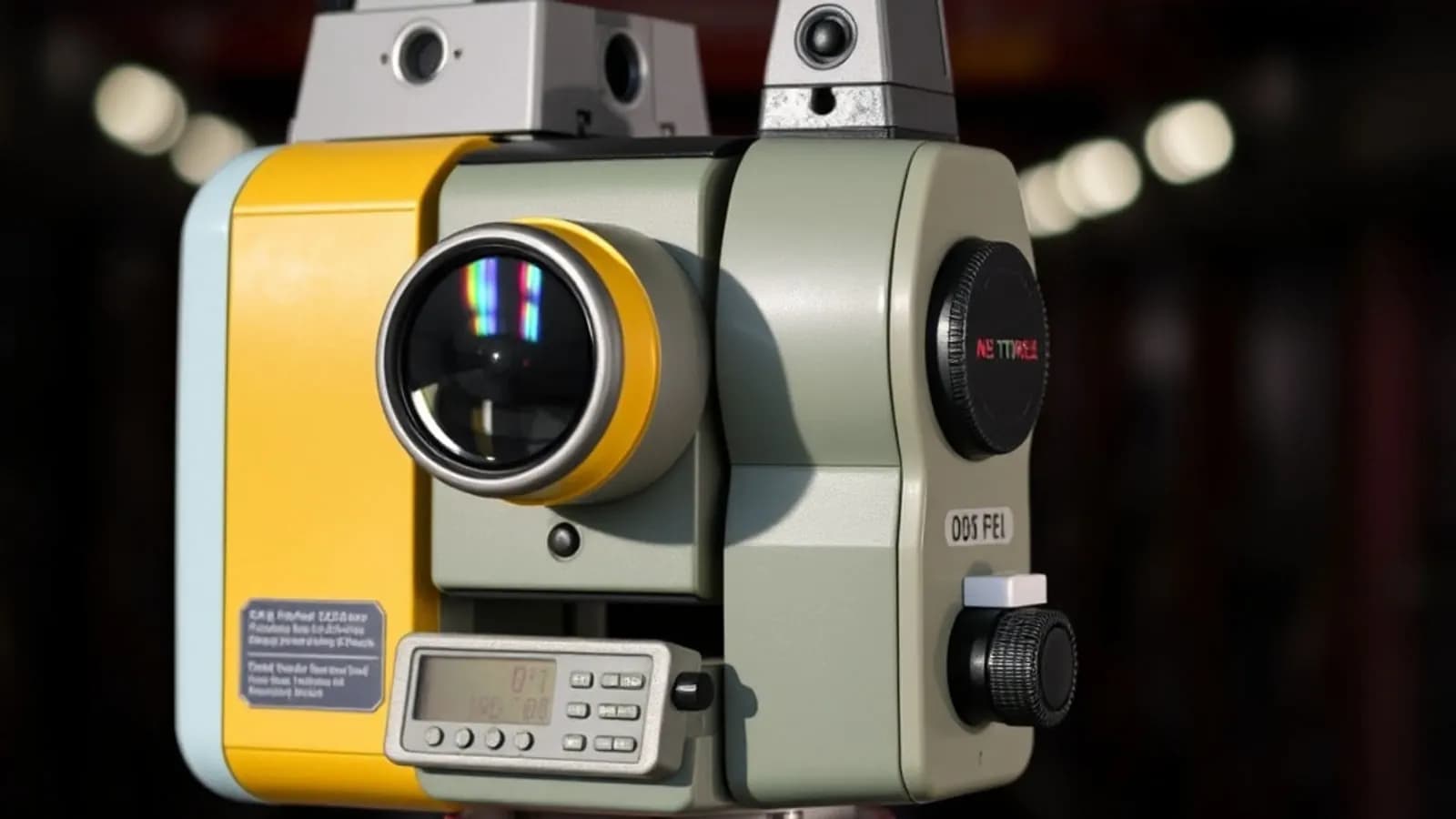
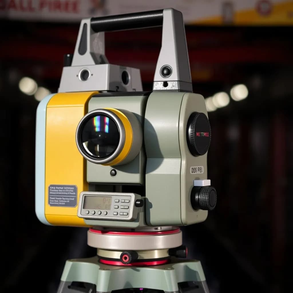
A total station is an advanced survey instrument that works on the electronic tacheometer or EDM (electronic distance measurement) principle and measures angles and distances at the same time. The angles measured as with a classic theodolite are combined with millimetre-precise distance measurements from the EDM unit.
Main Components of a Total Station
- EDM (electronic distance measurement): measures distance.
- Angle measurement unit: reads horizontal and vertical angles.
- Digital display and data logging: measurements are stored in memory and transferred over USB or Bluetooth.
- Prism and pole: used to target the point being measured.
Measuring with a Total Station, Step by Step
- Set up and level the instrument.
- Place the prism on the point to be measured.
- Take the angle and distance measurements.
- The instrument calculates the results as coordinates.
- Transfer the data to a computer for processing (e.g. NetCAD, Civil 3D or QGIS).
When Is a Total Station the Right Choice?
- Road projects (spot heights, setting-out, cut-and-fill calculations)
- Construction setting-out
- Mine site surveys
- Terrain modelling and volume calculations
Total stations are preferred especially in engineering projects that require high accuracy. Leica, Trimble, Topcon and South are among the most widely used brands.
What Is a Level?
A level (levelling instrument) is an optical tool used to measure the height difference between two points. It is not as complex as a total station or GPS, but it gives the highest accuracy for height measurements.
Types of Level
- Automatic level: levels itself and reduces manual errors.
- Digital level: shows readings on a digital display and checks for errors.
- Laser level: usually used for checking levels inside buildings.
How Is a Levelling Measurement Taken?
- Set the level up between the two points.
- Take the backsight (BS) and foresight (FS) staff readings.
- Height difference = BS − FS.
- Add the difference to the reference level to find the level of the new point.
Things to Watch When Using a Level
- The staff must be held vertical.
- If the instrument is not level, the readings will be wrong.
- Temperature and heat shimmer can affect visibility.
Levels are usually used for road, drainage, infrastructure, excavation and foundation level measurements.

GPS / GNSS Survey Systems
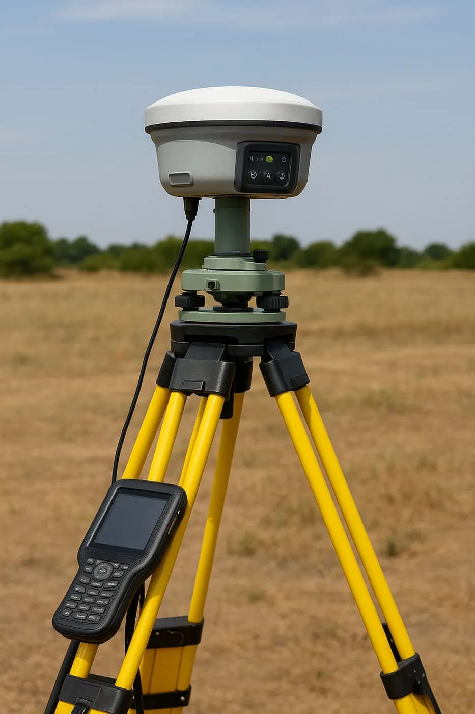
Today satellite-based systems (GNSS) make field surveys much easier. GNSS is the general name for systems such as GPS (USA), GLONASS (Russia), Galileo (EU) and BeiDou (China).
How Does a GNSS Receiver Work?
The satellite signals are received by the antenna at the point being measured. The receiver calculates its distance to the satellites and determines the point's coordinates (X, Y, Z). The processing method depends on the type of survey:
- RTK (real-time kinematic): instant positioning, centimetre-level precision.
- Static survey: long data collection, millimetre-level accuracy.
- PPK (post-processed kinematic): data is processed afterwards, precision close to RTK.
Things to Watch in GNSS Surveys
- Satellite geometry (the PDOP value should be low)
- Distance to the base station
- Metal surfaces and tall buildings can disturb the signal
- The correct antenna height must be entered
GNSS systems are widely used in cadastral surveys, map production, infrastructure planning and agricultural GIS projects.
Total Station, Level or GPS: Which Instrument Should I Choose?
The table below shows the right instrument for each type of project:
| Project type | Recommended instrument | Why |
|---|---|---|
| Road and infrastructure projects | Total station + level | For both plan and level control |
| Construction setting-out | Total station | Precise transfer of coordinates |
| Mine site survey | GNSS (RTK) + total station | Combines large areas with detail |
| Cadastral surveys | GNSS (static) | High accuracy and global consistency |
| Drainage and excavation | Level | Tracking level differences |
The right instrument optimises not only a project's accuracy but also its duration and cost. Poorly maintained or badly calibrated instruments cost both time and money.
Conclusion: The Right Instrument Gives the Right Data
In surveying engineering, the best results come from using the right instrument in the right place. The total station is strong on detail, the level on heights and GPS over large areas. As technology advances, using these instruments together makes surveys faster and more reliable.
If you need professional survey services and want your field data produced accurately and reliably, you can always contact us.
Related articles

Surveying and geodesy
Coordinate Systems and Transformations: UTM, ITRF, ED50 and Google Earth (WGS84)
Common datums and projections, and the errors that choosing the wrong system causes.
Industry
The Future of Surveying Engineering: 2025-2026 Trends and the Technology Shift
The move from measurement to spatial data management with AI, autonomous systems and digital twins.
GIS
Vector and Raster Maps: Differences and Uses
The structure and strengths of the two data models, and which one to choose for which job.