

Coordinate Systems and Transformations: UTM, ITRF, ED50 and Google Earth (WGS84)
Common datums and projections, and the errors that choosing the wrong system causes.
Contents
- What Is WGS84? (The Google Earth Coordinate System)
- Key Features of WGS84
- Why Are Google Earth Heights Different?
- Why Does the WGS84 → UTM Transformation Matter?
- What Is the UTM Coordinate System?
- Key Features of UTM
- UTM in Türkiye
- What Is ITRF? (ITRF96, ITRF2000, ITRF2014…)
- Features of ITRF
- Why Is ITRF Updated Continuously?
- What Is ED50? (The Old Coordinate System in Türkiye)
- Features of ED50
- Why Can ED50 → ITRF / WGS84 Transformations Be Inaccurate?
- Comparing the Coordinate Systems
- How Are Google Earth (WGS84), UTM, ED50 and ITRF Transformations Done?
- 1) WGS84 ➜ UTM
- 2) WGS84 ➜ ED50
- 3) ITRF ➜ WGS84
- 4) ED50 ➜ UTM
- The Most Common Question: How Do I Bring a Google Earth Coordinate into Netcad / AutoCAD Correctly?
In surveying engineering, GIS, construction, mining and infrastructure projects, using the right coordinates is a critical factor that directly affects survey accuracy. Evaluating even a single point in the wrong coordinate system can cause errors of several metres in a project.
In this article we cover the most commonly used coordinate systems and their transformations in a detailed, clear and comparative way:
- WGS84 (the Google Earth coordinate system)
- UTM (Universal Transverse Mercator)
- ITRF (International Terrestrial Reference Frame)
- ED50 (the old datum used in Türkiye)
You will also find thorough information on how transformations between systems are done, why errors occur and where each system is used in practice.
What Is WGS84? (The Google Earth Coordinate System)
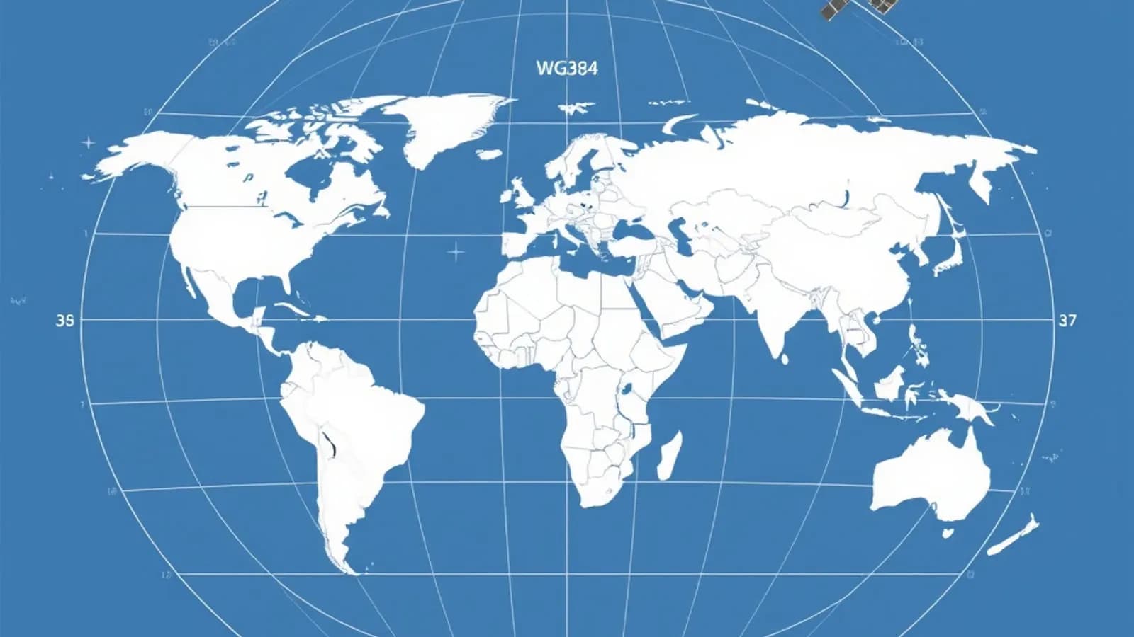
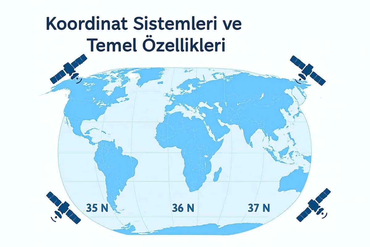
WGS84 (World Geodetic System 1984) is today the default coordinate system of GPS devices, Google Earth and many map applications.
Key Features of WGS84
- It is the system Google Earth uses.
- GPS devices, phone location and drones measure in the WGS84 datum.
- It is a geographic coordinate system.
- Coordinates are given as latitude, longitude and ellipsoidal height (h).
Why Are Google Earth Heights Different?
Google Earth gives heights relative to the EGM96 geoid, not mean sea level. That is why there is a difference between GPS heights and Google Earth heights.
Why Does the WGS84 → UTM Transformation Matter?
- When you bring a coordinate you see in Google Earth into a project drawing (AutoCAD, Netcad, GIS), it has to be transformed into a UTM/EPSG system.
- Otherwise errors of hundreds of metres can occur.
What Is the UTM Coordinate System?
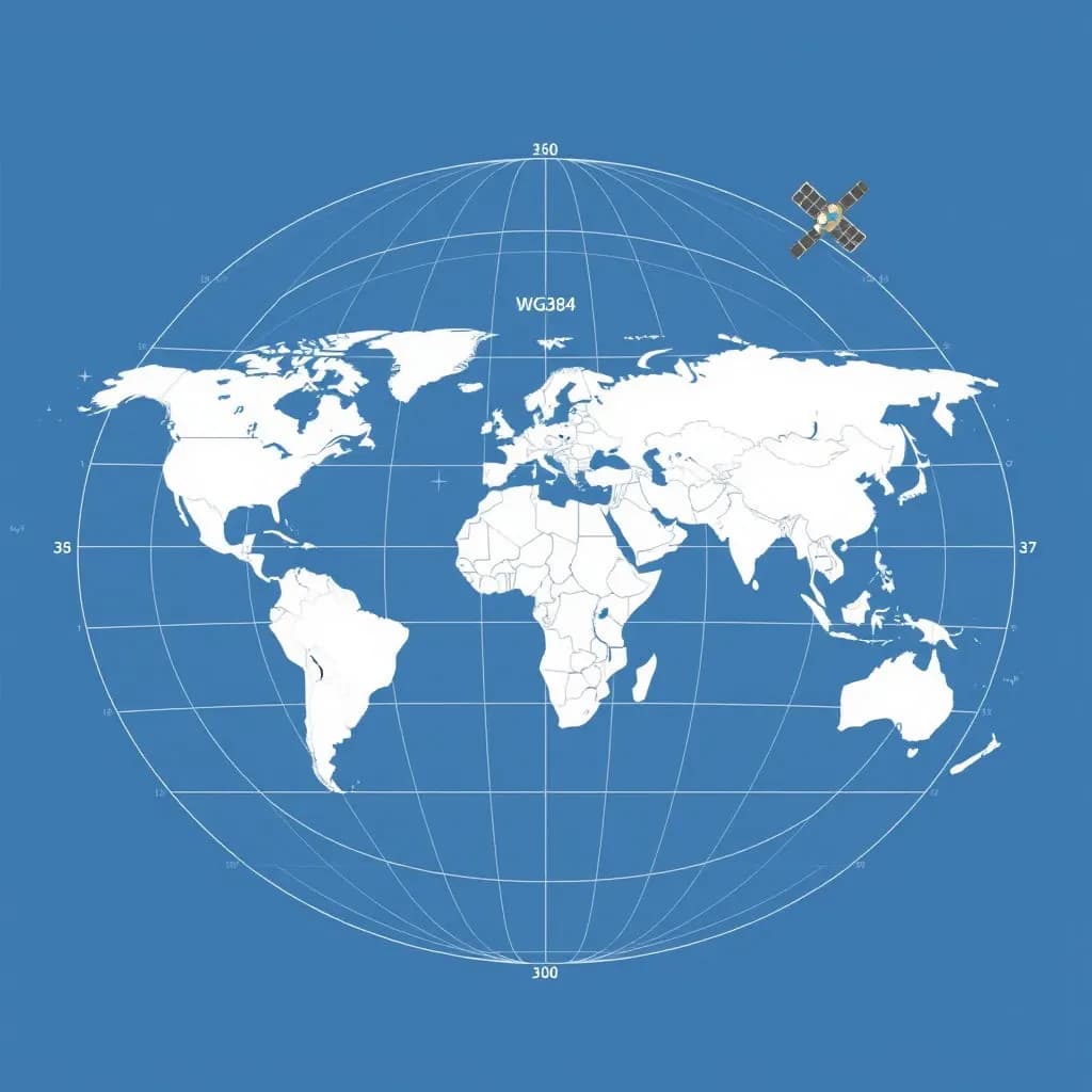
UTM (Universal Transverse Mercator) is a projection-based system that divides the world into 6° zones. Türkiye lies in zones 35, 36 and 37.
Key Features of UTM
- A point is expressed in metres as (X, Y): X = northing, Y = easting.
- It is the most widely used projection in mapping work.
- It is highly accurate for spatial analysis, surveys and engineering projects.
UTM in Türkiye
| Region | UTM zone |
|---|---|
| Western Türkiye | 35 N |
| Central Türkiye | 36 N |
| Eastern Türkiye | 37 N |
What Is ITRF? (ITRF96, ITRF2000, ITRF2014…)
ITRF (International Terrestrial Reference Frame) is the reference system of modern GNSS infrastructure.
Features of ITRF
- It is one of the most up-to-date and accurate datum systems.
- It is used in GNSS positioning (RTK, PPK, CORS).
- In Türkiye, TUSAGA-Aktif (CORS-TR) measurements are usually based on ITRF96 or ITRF2005.
Why Is ITRF Updated Continuously?
Because coordinates change at the millimetre level as a result of:
- Continental drift,
- Earthquakes,
- Changes in the Earth's crust.
That is why surveying engineers pay attention to the epoch when working with ITRF.
What Is ED50? (The Old Coordinate System in Türkiye)
ED50 (European Datum 1950) was a classic datum used in Türkiye for many years.
Features of ED50
- Military maps, old cadastral plans and older engineering projects were produced in this system.
- Although it is largely no longer used, archive projects and old rural cadastre may still be in ED50.
Why Can ED50 → ITRF / WGS84 Transformations Be Inaccurate?
- Datum differences (transformation parameters)
- Regional deformations
That is why the TUTGA and HKGM transformation parameters should be used.
Comparing the Coordinate Systems
| System | Type | Typical use | Advantage | Disadvantage |
|---|---|---|---|---|
| WGS84 | Geographic | Google Earth, GPS | Universal, widespread | Needs transforming for projects |
| UTM | Projection | Mapping, engineering | Precise, in metres | Complexity at zone boundaries |
| ITRF | Modern datum | CORS-TR, GNSS | Most accurate results | Epoch must be specified |
| ED50 | Old datum | Old cadastre | Historical consistency | Inaccurate in current projects |
How Are Google Earth (WGS84), UTM, ED50 and ITRF Transformations Done?
1) WGS84 ➜ UTM
The most common transformation, used to bring data from Google Earth into AutoCAD or Netcad.
- Choose the EPSG code.
- Examples for Türkiye: 36N → EPSG 32636, 35N → EPSG 32635
2) WGS84 ➜ ED50
This transformation is prone to error. Regional transformation parameters for Türkiye should be used (provided by HKGM).
3) ITRF ➜ WGS84
The differences are very small: from millimetres to a few centimetres in GNSS measurements.
4) ED50 ➜ UTM
The most critical transformation for bringing old projects into a modern project.
The Most Common Question: How Do I Bring a Google Earth Coordinate into Netcad / AutoCAD Correctly?
- Take the point from Google Earth → WGS84 (lat, lon)
- Set the projection in Netcad / GIS → choose the UTM WGS84 zone
- Apply a datum transformation if needed → ITRF / ED50 / TUREF
- Bring the coordinate into the CAD drawing in metres.
Getting any of these steps wrong can cause errors of hundreds of metres.
Related articles

Surveying and geodesy
A Guide to Survey Instruments: Comparing the Total Station, Level and GPS
How total stations, levels and GNSS receivers work, and what each is best used for.

Industry
The Future of Surveying Engineering: 2025-2026 Trends and the Technology Shift
The move from measurement to spatial data management with AI, autonomous systems and digital twins.
GIS
Vector and Raster Maps: Differences and Uses
The structure and strengths of the two data models, and which one to choose for which job.